Area Overview for GL10 2JZ
Photos of GL10 2JZ
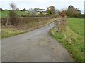
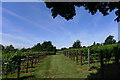
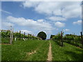
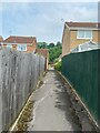
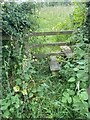
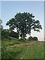
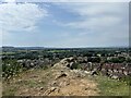
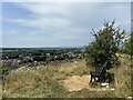
26 photos from this area
Area Information
Key information about the GL10 2JZ including its size, population, and administrative classification.
- Area Type
- Postcode
- Area Size
- 14.9 hectares
- Population
- 1723
- Population Density
- 1154 people/km²
House Prices in GL10 2JZ
13
Properties
£467,857
Average Sold Price
£290,000
Lowest Price
£715,000
Highest Price
Showing 13 properties
| Address | Type | Beds | Baths | Last Sale Price | Last Sale Date | |
|---|---|---|---|---|---|---|
| Mayview, Browns Lane, Stonehouse, GL10 2JZ | Detached | 5 | 4 | £715,000 | Apr 2025 | |
| Ingleside, Browns Lane, Stonehouse, GL10 2JZ | Detached | 3 | 3 | £550,000 | Jul 2024 | |
| Wedgwood, Browns Lane, Stonehouse, GL10 2JZ | Detached | 4 | 1 | £667,000 | Oct 2019 | |
| Little Orchard, Browns Lane, Stonehouse, GL10 2JZ | house | - | - | £300,000 | Oct 2010 | |
| Evenlode, Browns Lane, Stonehouse, GL10 2JZ | Bungalow | - | - | £405,000 | Aug 2010 | |
| Studlands, Browns Lane, Stonehouse, GL10 2JZ | Detached | - | - | £290,000 | Feb 2006 | |
| Cotswold Gables, Browns Lane, Stonehouse, GL10 2JZ | Detached | - | - | £348,000 | Feb 2003 | |
| Beech Leaves, Browns Lane, Stonehouse, GL10 2JZ | Detached | 3 | 2 | - | - | |
| Grove Farm, Browns Lane, Stonehouse, GL10 2JZ | Land | - | - | - | - | |
| Cotswold Court, Browns Lane, Stonehouse, GL10 2JZ | Retirement | - | - | - | - |
Page 1 of 2
Energy Efficiency in GL10 2JZ
Amenities
Schools
| Rank | School | Type | Entry gender | Ages |
|---|
Explore more schools in this area
Go to Schools tabDemographics
Household Size
Two person
most common
Accommodation Type
Houses
most common
Tenure
72
majority
Ethnic Group
White
most common
Religion
N/A
most common
Household Composition
N/A
most common
Age
47
median
Adults (30-64 years)
most common
Household Deprivation
N/A
with no deprivation
NS-SEC
38
in Lower managerial occupations
Explore more demographic insights in this area
Go to Demographics tabPlanning
Planning Constraints
- Flood RiskPremium
- Ramsar Wetland SitesPremium
- Area of Outstanding Natural BeautyPremium
- Protected Nature ReservePremium
- Protected WoodlandPremium