Area Overview for GL1 5SW
Photos of GL1 5SW
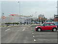
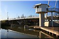

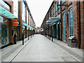
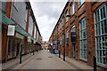

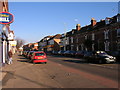
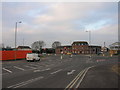
100 photos from this area
Area Information
Key information about the GL1 5SW including its size, population, and administrative classification.
- Area Type
- Postcode
- Area Size
- 4199 m²
- Population
- 1354
- Population Density
- 10173 people/km²
House Prices in GL1 5SW
12
Properties
£152,223
Average Sold Price
£59,000
Lowest Price
£212,000
Highest Price
Showing 12 properties
| Address | Type | Beds | Baths | Last Sale Price | Last Sale Date | |
|---|---|---|---|---|---|---|
| 101 Bristol Road, Gloucester, GL1 5SW | Terraced | 2 | 2 | £205,000 | May 2025 | |
| 93 Bristol Road, Gloucester, GL1 5SW | house | 2 | 1 | £175,000 | Aug 2024 | |
| 105 Bristol Road, Gloucester, GL1 5SW | house | 1 | 1 | £212,000 | Jun 2024 | |
| 113 Bristol Road, Gloucester, GL1 5SW | Terraced | 1 | 1 | £175,000 | Jul 2021 | |
| 107 Bristol Road, Gloucester, GL1 5SW | Semi-detached | 1 | 2 | £180,000 | Aug 2020 | |
| 115 Bristol Road, Gloucester, GL1 5SW | Terraced | 5 | 4 | £146,000 | Aug 2020 | |
| 97 Bristol Road, Gloucester, GL1 5SW | Terraced | 3 | 1 | £170,000 | Feb 2020 | |
| 103 Bristol Road, Gloucester, GL1 5SW | Terraced | 6 | 5 | £137,500 | Feb 2018 | |
| 99 Bristol Road, Gloucester, GL1 5SW | Terraced | 2 | 1 | £125,000 | Sep 2007 | |
| 109 Bristol Road, Gloucester, GL1 5SW | house | - | - | £89,950 | Apr 2004 |
Page 1 of 2
Energy Efficiency in GL1 5SW
Amenities
Schools
| Rank | School | Type | Entry gender | Ages |
|---|
Explore more schools in this area
Go to Schools tabDemographics
Household Size
Family (3-5 people)
most common
Accommodation Type
Houses
most common
Tenure
62
majority
Ethnic Group
White
most common
Religion
N/A
most common
Household Composition
N/A
most common
Age
47
median
Adults (30-64 years)
most common
Household Deprivation
N/A
with no deprivation
NS-SEC
25
in Lower managerial occupations
Explore more demographic insights in this area
Go to Demographics tabPlanning
Planning Constraints
- Flood RiskPremium
- Ramsar Wetland SitesPremium
- Area of Outstanding Natural BeautyPremium
- Protected Nature ReservePremium
- Protected WoodlandPremium