Area Overview for GL1 5ES
Photos of GL1 5ES
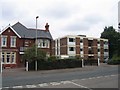
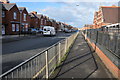

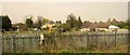
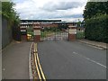
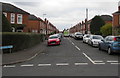
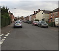
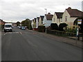
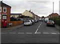
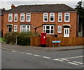
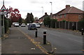
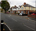
48 photos from this area
Area Information
Key information about the GL1 5ES including its size, population, and administrative classification.
- Area Type
- Postcode
- Area Size
- 1.4 hectares
- Population
- 1497
- Population Density
- 4845 people/km²
House Prices in GL1 5ES
16
Properties
£224,664
Average Sold Price
£158,000
Lowest Price
£325,000
Highest Price
Showing 16 properties
| Address | Type | Beds | Baths | Last Sale Price | Last Sale Date | |
|---|---|---|---|---|---|---|
| 121 Calton Road, Gloucester, GL1 5ES | Semi-detached | 3 | 1 | £252,000 | Mar 2025 | |
| 113 Calton Road, Gloucester, GL1 5ES | Semi-detached | 3 | 2 | £325,000 | Apr 2023 | |
| 194 Calton Road, Gloucester, GL1 5ES | Semi-detached | 2 | 1 | £232,650 | Jul 2020 | |
| 115 Calton Road, Gloucester, GL1 5ES | house | 3 | 2 | £220,000 | Jan 2019 | |
| 202 Calton Road, Gloucester, GL1 5ES | Semi-detached | 3 | 1 | £205,000 | Oct 2016 | |
| 119 Calton Road, Gloucester, GL1 5ES | house | 3 | - | £158,000 | Oct 2012 | |
| 127 Calton Road, Gloucester, GL1 5ES | house | - | - | £180,000 | Apr 2006 | |
| 111 Calton Road, Gloucester, GL1 5ES | Land | - | - | - | - | |
| 109 Calton Road, Gloucester, GL1 5ES | Semi-detached | 3 | 1 | - | - | |
| 200 Calton Road, Gloucester, GL1 5ES | Semi-detached | - | - | - | - |
Page 1 of 2
Energy Efficiency in GL1 5ES
Amenities
Schools
| Rank | School | Type | Entry gender | Ages |
|---|
Explore more schools in this area
Go to Schools tabDemographics
Household Size
Family (3-5 people)
most common
Accommodation Type
Houses
most common
Tenure
69
majority
Ethnic Group
White
most common
Religion
N/A
most common
Household Composition
N/A
most common
Age
47
median
Adults (30-64 years)
most common
Household Deprivation
N/A
with no deprivation
NS-SEC
33
in Lower managerial occupations
Explore more demographic insights in this area
Go to Demographics tabPlanning
Planning Constraints
- Flood RiskPremium
- Ramsar Wetland SitesPremium
- Area of Outstanding Natural BeautyPremium
- Protected Nature ReservePremium
- Protected WoodlandPremium