Area Overview for GL1 5DU
Photos of GL1 5DU
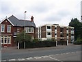
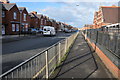
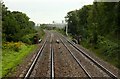
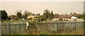
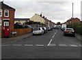
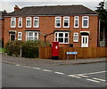
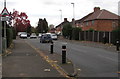
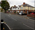
48 photos from this area
Area Information
Key information about the GL1 5DU including its size, population, and administrative classification.
- Area Type
- Postcode
- Area Size
- 2.9 hectares
- Population
- 1497
- Population Density
- 4845 people/km²
House Prices in GL1 5DU
57
Properties
£190,936
Average Sold Price
£40,000
Lowest Price
£350,000
Highest Price
Showing 57 properties
| Address | Type | Beds | Baths | Last Sale Price | Last Sale Date | |
|---|---|---|---|---|---|---|
| 280 Linden Road, Gloucester, GL1 5DU | house | - | - | £320,000 | Nov 2024 | |
| 205 Linden Road, Gloucester, GL1 5DU | Detached | 6 | 7 | £249,995 | Feb 2023 | |
| 268 Linden Road, Gloucester, GL1 5DU | Semi-detached | 4 | - | £345,000 | May 2022 | |
| 183 Linden Road, Gloucester, GL1 5DU | house | 5 | 2 | £350,000 | Apr 2022 | |
| 258 Linden Road, Gloucester, GL1 5DU | Semi-detached | 4 | 1 | £312,000 | Dec 2021 | |
| 260 Linden Road, Gloucester, GL1 5DU | house | 3 | 1 | £226,666 | Sep 2021 | |
| 213 Linden Road, Gloucester, GL1 5DU | Semi-detached | 3 | 1 | £230,500 | Jul 2020 | |
| 250 Linden Road, Gloucester, GL1 5DU | Semi-detached | 3 | 1 | £275,000 | Nov 2019 | |
| 207 Linden Road, Gloucester, GL1 5DU | Semi-detached | 3 | 1 | £245,000 | May 2018 | |
| 282 Linden Road, Gloucester, GL1 5DU | Semi-detached | 3 | 1 | £210,000 | Apr 2018 |
Page 1 of 6
Energy Efficiency in GL1 5DU
Amenities
Schools
| Rank | School | Type | Entry gender | Ages |
|---|
Explore more schools in this area
Go to Schools tabDemographics
Household Size
Family (3-5 people)
most common
Accommodation Type
Houses
most common
Tenure
69
majority
Ethnic Group
White
most common
Religion
N/A
most common
Household Composition
N/A
most common
Age
47
median
Adults (30-64 years)
most common
Household Deprivation
N/A
with no deprivation
NS-SEC
33
in Lower managerial occupations
Explore more demographic insights in this area
Go to Demographics tabPlanning
Planning Constraints
- Flood RiskPremium
- Ramsar Wetland SitesPremium
- Area of Outstanding Natural BeautyPremium
- Protected Nature ReservePremium
- Protected WoodlandPremium