Area Overview for GL1 4XG
Photos of GL1 4XG

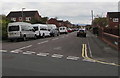
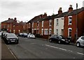
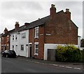
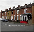
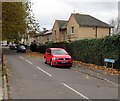

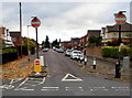
100 photos from this area
Area Information
Key information about the GL1 4XG including its size, population, and administrative classification.
- Area Type
- Postcode
- Area Size
- 1.1 hectares
- Population
- 1556
- Population Density
- 12262 people/km²
House Prices in GL1 4XG
54
Properties
£123,392
Average Sold Price
£20,000
Lowest Price
£170,000
Highest Price
Showing 54 properties
| Address | Type | Beds | Baths | Last Sale Price | Last Sale Date | |
|---|---|---|---|---|---|---|
| 69 Regent Street, Gloucester, GL1 4XG | Terraced | 3 | 2 | £170,000 | Jul 2021 | |
| 78 Regent Street, Gloucester, GL1 4XG | house | - | - | £160,000 | Aug 2018 | |
| 62 Regent Street, Gloucester, GL1 4XG | house | - | - | £130,000 | May 2017 | |
| 56 Regent Street, Gloucester, GL1 4XG | house | - | - | £160,000 | Jan 2017 | |
| 84 Regent Street, Gloucester, GL1 4XG | Semi-detached | - | - | £157,000 | Oct 2016 | |
| 54 Regent Street, Gloucester, GL1 4XG | Semi-detached | 4 | 1 | £155,000 | Mar 2016 | |
| 65 Regent Street, Gloucester, GL1 4XG | house | - | - | £89,500 | Mar 2016 | |
| 88 Regent Street, Gloucester, GL1 4XG | house | - | - | £134,950 | Nov 2015 | |
| 45 Regent Street, Gloucester, GL1 4XG | house | 3 | 4 | £135,000 | Feb 2012 | |
| 49 Regent Street, Gloucester, GL1 4XG | Semi-detached | - | - | £75,000 | Sep 2010 |
Page 1 of 6
Energy Efficiency in GL1 4XG
Amenities
Schools
| Rank | School | Type | Entry gender | Ages |
|---|
Explore more schools in this area
Go to Schools tabDemographics
Household Size
Family (3-5 people)
most common
Accommodation Type
Houses
most common
Tenure
56
majority
Ethnic Group
asian_total
most common
Religion
N/A
most common
Household Composition
N/A
most common
Age
47
median
Adults (30-64 years)
most common
Household Deprivation
N/A
with no deprivation
NS-SEC
17
in Lower managerial occupations
Explore more demographic insights in this area
Go to Demographics tabPlanning
Planning Constraints
- Flood RiskPremium
- Ramsar Wetland SitesPremium
- Area of Outstanding Natural BeautyPremium
- Protected Nature ReservePremium
- Protected WoodlandPremium