Area Overview for GL1 4TQ
Photos of GL1 4TQ
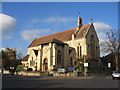
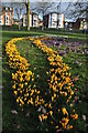
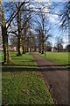
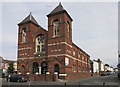

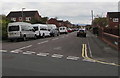
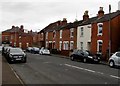
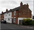
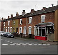

100 photos from this area
Area Information
Key information about the GL1 4TQ including its size, population, and administrative classification.
- Area Type
- Postcode
- Area Size
- 3405 m²
- Population
- 1611
- Population Density
- 9227 people/km²
House Prices in GL1 4TQ
14
Properties
£169,654
Average Sold Price
£135,000
Lowest Price
£199,000
Highest Price
Showing 14 properties
| Address | Type | Beds | Baths | Last Sale Price | Last Sale Date | |
|---|---|---|---|---|---|---|
| 39 Slaney Street, Gloucester, GL1 4TQ | Semi-detached | 3 | 2 | £194,580 | May 2025 | |
| 41 Slaney Street, Gloucester, GL1 4TQ | house | 3 | 1 | £199,000 | Jan 2025 | |
| 48 Slaney Street, Gloucester, GL1 4TQ | Semi-detached | 3 | 1 | £180,000 | Aug 2020 | |
| 50 Slaney Street, Gloucester, GL1 4TQ | Semi-detached | 3 | 1 | £181,250 | Nov 2019 | |
| 43 Slaney Street, Gloucester, GL1 4TQ | Semi-detached | 2 | 2 | £158,000 | Oct 2017 | |
| 46 Slaney Street, Gloucester, GL1 4TQ | house | - | - | £135,000 | Aug 2007 | |
| 44 Slaney Street, Gloucester, GL1 4TQ | Semi-detached | - | - | £139,750 | Jan 2006 | |
| Caravan At, 35 Slaney Street, Gloucester, GL1 4TQ | shop | - | - | - | - | |
| Flat, 35 Slaney Street, Gloucester, GL1 4TQ | Flat | - | - | - | - | |
| 47A Slaney Street, Gloucester, GL1 4TQ | Flat | - | - | - | - |
Page 1 of 2
Energy Efficiency in GL1 4TQ
Amenities
Schools
| Rank | School | Type | Entry gender | Ages |
|---|
Explore more schools in this area
Go to Schools tabDemographics
Household Size
Family (3-5 people)
most common
Accommodation Type
Houses
most common
Tenure
49
majority
Ethnic Group
White
most common
Religion
N/A
most common
Household Composition
N/A
most common
Age
47
median
Adults (30-64 years)
most common
Household Deprivation
N/A
with no deprivation
NS-SEC
22
in Lower managerial occupations
Explore more demographic insights in this area
Go to Demographics tabPlanning
Planning Constraints
- Flood RiskPremium
- Ramsar Wetland SitesPremium
- Area of Outstanding Natural BeautyPremium
- Protected Nature ReservePremium
- Protected WoodlandPremium