Area Overview for GL1 3LE
Photos of GL1 3LE
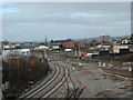
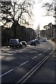
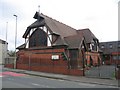
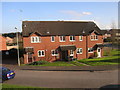
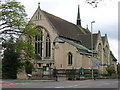
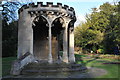
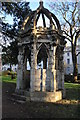
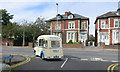
100 photos from this area
Area Information
Key information about the GL1 3LE including its size, population, and administrative classification.
- Area Type
- Postcode
- Area Size
- 8826 m²
- Population
- 2299
- Population Density
- 2564 people/km²
House Prices in GL1 3LE
54
Properties
£149,813
Average Sold Price
£83,750
Lowest Price
£255,000
Highest Price
Showing 54 properties
| Address | Type | Beds | Baths | Last Sale Price | Last Sale Date | |
|---|---|---|---|---|---|---|
| 31 Harescombe Drive, Gloucester, GL1 3LE | Flat | 2 | 1 | £140,000 | Oct 2025 | |
| 59 Harescombe Drive, Gloucester, GL1 3LE | Flat | 2 | 2 | £142,000 | Jul 2025 | |
| 2 Harescombe Drive, Gloucester, GL1 3LE | Flat | - | - | £140,000 | Apr 2025 | |
| 20 Harescombe Drive, Gloucester, GL1 3LE | Flat | - | - | £120,000 | Mar 2025 | |
| 35 Harescombe Drive, Gloucester, GL1 3LE | Flat | 2 | 2 | £117,000 | Jan 2025 | |
| 41 Harescombe Drive, Gloucester, GL1 3LE | Flat | 2 | 1 | £122,000 | Mar 2024 | |
| 18 Harescombe Drive, Gloucester, GL1 3LE | Flat | - | - | £151,000 | Jan 2023 | |
| 22 Harescombe Drive, Gloucester, GL1 3LE | Flat | - | - | £130,000 | Dec 2022 | |
| 47 Harescombe Drive, Gloucester, GL1 3LE | Flat | 1 | 1 | £107,000 | Sep 2022 | |
| 5 Harescombe Drive, Gloucester, GL1 3LE | Semi-detached | 4 | 1 | £255,000 | Jul 2022 |
Page 1 of 6
Energy Efficiency in GL1 3LE
Amenities
Schools
| Rank | School | Type | Entry gender | Ages |
|---|
Explore more schools in this area
Go to Schools tabDemographics
Household Size
One person
most common
Accommodation Type
Flats
most common
Tenure
48
majority
Ethnic Group
White
most common
Religion
N/A
most common
Household Composition
N/A
most common
Age
47
median
Adults (30-64 years)
most common
Household Deprivation
N/A
with no deprivation
NS-SEC
36
in Lower managerial occupations
Explore more demographic insights in this area
Go to Demographics tabPlanning
Planning Constraints
- Flood RiskPremium
- Ramsar Wetland SitesPremium
- Area of Outstanding Natural BeautyPremium
- Protected Nature ReservePremium
- Protected WoodlandPremium