Area Overview for GL1 2RF
Photos of GL1 2RF
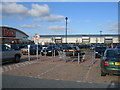
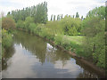
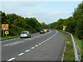

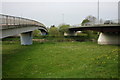
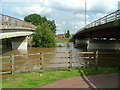
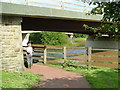
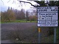
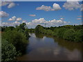

95 photos from this area
Area Information
Key information about the GL1 2RF including its size, population, and administrative classification.
- Area Type
- Postcode
- Area Size
- 7595 m²
- Population
- 1766
- Population Density
- 1378 people/km²
House Prices in GL1 2RF
15
Properties
£125,369
Average Sold Price
£36,000
Lowest Price
£180,000
Highest Price
Showing 15 properties
| Address | Type | Beds | Baths | Last Sale Price | Last Sale Date | |
|---|---|---|---|---|---|---|
| 72 Priory Road, Gloucester, GL1 2RF | Terraced | 2 | 1 | £150,000 | Jun 2023 | |
| 68 Priory Road, Gloucester, GL1 2RF | house | 3 | - | £152,900 | Jan 2022 | |
| 64 Priory Road, Gloucester, GL1 2RF | house | 3 | - | £154,500 | Feb 2021 | |
| 54 Priory Road, Gloucester, GL1 2RF | Terraced | 3 | 1 | £157,000 | Jun 2018 | |
| 42A Priory Road, Gloucester, GL1 2RF | Detached | 4 | 1 | £180,000 | Aug 2017 | |
| 56 Priory Road, Gloucester, GL1 2RF | Terraced | - | - | £124,000 | Nov 2007 | |
| 50 Priory Road, Gloucester, GL1 2RF | Terraced | 2 | 1 | £48,550 | Apr 2003 | |
| 46 Priory Road, Gloucester, GL1 2RF | Detached | 4 | 1 | £36,000 | Apr 2001 | |
| 58 PRIORY ROAD, Gloucester, GL1 2RF | Detached | - | - | - | - | |
| 70 Priory Road, Gloucester, GL1 2RF | house | - | - | - | - |
Page 1 of 2
Energy Efficiency in GL1 2RF
Amenities
Schools
| Rank | School | Type | Entry gender | Ages |
|---|
Explore more schools in this area
Go to Schools tabDemographics
Household Size
One person
most common
Accommodation Type
Flats
most common
Tenure
47
majority
Ethnic Group
White
most common
Religion
N/A
most common
Household Composition
N/A
most common
Age
47
median
Adults (30-64 years)
most common
Household Deprivation
N/A
with no deprivation
NS-SEC
31
in Lower managerial occupations
Explore more demographic insights in this area
Go to Demographics tabPlanning
Planning Constraints
- Flood RiskPremium
- Ramsar Wetland SitesPremium
- Area of Outstanding Natural BeautyPremium
- Protected Nature ReservePremium
- Protected WoodlandPremium