Area Overview for GL1 2EH
Photos of GL1 2EH
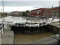
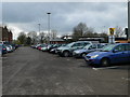

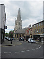

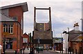
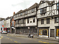
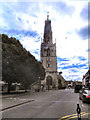
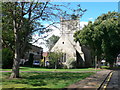


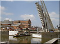
100 photos from this area
Area Information
Key information about the GL1 2EH including its size, population, and administrative classification.
- Area Type
- Postcode
- Area Size
- 3.1 hectares
- Population
- 1498
- Population Density
- 590 people/km²
House Prices in GL1 2EH
57
Properties
£152,500
Average Sold Price
£130,000
Lowest Price
£175,000
Highest Price
Showing 57 properties
| Address | Type | Beds | Baths | Last Sale Price | Last Sale Date | |
|---|---|---|---|---|---|---|
| FLAT 7, MARINERS COURT, THE DOCKS, Gloucester, GL1 2EH | Flat | 2 | 1 | £175,000 | Feb 2020 | |
| Flat 1, Mariners Court, The Docks, Gloucester, GL1 2EH | Flat | 2 | 1 | £130,000 | Oct 2019 | |
| Flat 4, Mariners Court, The Docks, Gloucester, GL1 2EH | Flat | 2 | 1 | - | - | |
| Flat 10, Mariners Court, The Docks, Gloucester, GL1 2EH | Flat | 2 | 1 | - | - | |
| Flat 8, Mariners Court, The Docks, Gloucester, GL1 2EH | Flat | 2 | 1 | - | - | |
| Flat 13, Mariners Court, The Docks, Gloucester, GL1 2EH | Flat | 2 | 2 | - | - | |
| Flat 6, Mariners Court, The Docks, Gloucester, GL1 2EH | Flat | 2 | 1 | - | - | |
| Fielding Engine House, The Docks, Gloucester, GL1 2EH | Leisure | - | - | - | - | |
| Tank, Llanthony Road, Gloucester, GL1 2EH | Leisure | - | - | - | - | |
| Coots Cafe Bar, Fourth Fifth Floors, Llanthony Warehouse, The Docks, Gloucester, GL1 2EH | office_workshop | - | - | - | - |
Page 1 of 6
Energy Efficiency in GL1 2EH
Amenities
Schools
| Rank | School | Type | Entry gender | Ages |
|---|
Explore more schools in this area
Go to Schools tabDemographics
Household Size
One person
most common
Accommodation Type
Flats
most common
Tenure
50
majority
Ethnic Group
White
most common
Religion
N/A
most common
Household Composition
N/A
most common
Age
47
median
Adults (30-64 years)
most common
Household Deprivation
N/A
with no deprivation
NS-SEC
35
in Lower managerial occupations
Explore more demographic insights in this area
Go to Demographics tabPlanning
Planning Constraints
- Flood RiskPremium
- Ramsar Wetland SitesPremium
- Area of Outstanding Natural BeautyPremium
- Protected Nature ReservePremium
- Protected WoodlandPremium