Area Overview for Forest of Dean District
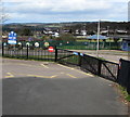
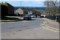
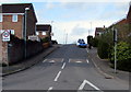
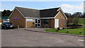
Photos of Forest of Dean District
Area Information
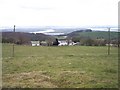
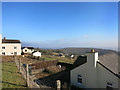
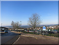
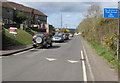
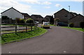
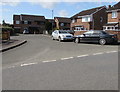
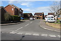
Living in Forest of Dean District offers a landscape defined by rugged hills and deep valleys rather than endless urban sprawl. This local authority district covers an expansive 562.2 km², creating a vast sense of space that dominates daily life for residents. You will find yourself moving through an environment where wide-open skies and forested terrain are the primary visual features. The area functions as a significant rural district within England, removing you from the immediate pulse of major city centres while maintaining connection to the wider national network. Daily life here revolves around the natural rhythms of the countryside and the specific needs of a dispersed population. Whether you are driving along country lanes or walking through wooded areas, the sheer scale of the territory shapes your experience. This is not a compact town; it is a broad territory where distance plays a fundamental role in how you access services and navigate your week. The setting invites a slower pace, yet the practicalities of managing such a large area require careful planning for commuting and travel. You should consider the geography carefully before committing to a property, as the size of the district directly influences your lifestyle.
- Area Type
- District/Borough
- Area Size
- 562.2 km²
- Population
- Not available
- Population Density
- Not available
Demographics
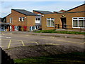
The community within Forest of Dean District speaks to a settled, older population with deeply rooted local ties. Statistics show the median age is 70, indicating a demographic heavily skewed towards retirement living. The most common age group totals the adult population, confirming that young families are a minority in this district. Home ownership stands at a striking 73%, meaning the vast majority of homes are owned outright or with a mortgage rather than being rented properties. This high ownership rate suggests stability rather than the fluidity typical of student or city rental markets. Household composition reflects a society where families have already completed their life cycles, with many residents residing in spacious accommodation suitable for elderly care or leisure. The population is relatively homogenous, with total ethnic and religious data reflecting a traditional demographic profile rather than a rapidly diversifying one. Living here means engaging with neighbours who have often lived in the same properties for decades. The low turnover rate creates close-knit neighbourhoods where local knowledge is abundant, yet modern amenities may require travel further than in larger towns. You should expect a quiet environment where the average resident prioritises stability over rapid change.
Household Size
Accommodation Type
Tenure
Ethnic Group
Religion
Household Composition
Age
Household Deprivation
NS-SEC
Explore more demographic insights in this area
Go to Demographics tabPlanning
Planning Constraints
- Flood RiskPremium
- Ramsar Wetland SitesPremium
- Area of Outstanding Natural BeautyPremium
- Protected Nature ReservePremium
- Protected WoodlandPremium
- Crime RiskPremium