Area Overview for EX9 6JP
Photos of EX9 6JP
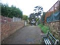
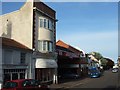
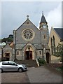
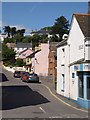
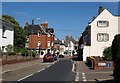
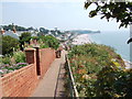
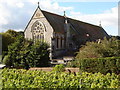
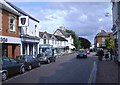
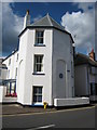
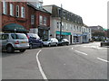
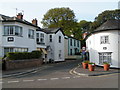
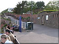
100 photos from this area
Area Information
Key information about the EX9 6JP including its size, population, and administrative classification.
- Area Type
- Postcode
- Area Size
- 3.3 hectares
- Population
- 1587
- Population Density
- 624 people/km²
House Prices in EX9 6JP
37
Properties
£308,236
Average Sold Price
£52,000
Lowest Price
£645,000
Highest Price
Showing 37 properties
| Address | Type | Beds | Baths | Last Sale Price | Last Sale Date | |
|---|---|---|---|---|---|---|
| 7 Victoria Place, Budleigh Salterton, EX9 6JP | Terraced | 2 | 2 | £430,000 | May 2024 | |
| 9 Victoria Place, Budleigh Salterton, EX9 6JP | Terraced | 2 | 1 | £155,000 | Nov 2023 | |
| 10 Victoria Place, Budleigh Salterton, EX9 6JP | Terraced | 3 | 2 | £350,000 | Jan 2022 | |
| 2A Victoria Place, Budleigh Salterton, EX9 6JP | Retail | 5 | 2 | £150,000 | May 2021 | |
| Palmer Cottage, Victoria Place, Budleigh Salterton, EX9 6JP | Semi-detached | 3 | - | £222,000 | Feb 2020 | |
| 21 Victoria Place, Budleigh Salterton, EX9 6JP | house | - | - | £476,250 | Dec 2018 | |
| 25 Victoria Place, Budleigh Salterton, EX9 6JP | Semi-detached | 3 | - | £645,000 | Dec 2015 | |
| 16 Victoria Place, Budleigh Salterton, EX9 6JP | house | 3 | - | £352,000 | Nov 2013 | |
| 2 Victoria Place, Budleigh Salterton, EX9 6JP | house | 3 | - | £340,000 | Jul 2012 | |
| 20 Victoria Place, Budleigh Salterton, EX9 6JP | Detached | - | - | £630,000 | Nov 2008 |
Page 1 of 4
Energy Efficiency in EX9 6JP
Amenities
Schools
| Rank | School | Type | Entry gender | Ages |
|---|
Explore more schools in this area
Go to Schools tabDemographics
Household Size
Two person
most common
Accommodation Type
Houses
most common
Tenure
83
majority
Ethnic Group
White
most common
Religion
N/A
most common
Household Composition
N/A
most common
Age
70
median
Elderly (65+ years)
most common
Household Deprivation
N/A
with no deprivation
NS-SEC
46
in Lower managerial occupations
Explore more demographic insights in this area
Go to Demographics tabPlanning
Planning Constraints
- Flood RiskPremium
- Ramsar Wetland SitesPremium
- Area of Outstanding Natural BeautyPremium
- Protected Nature ReservePremium
- Protected WoodlandPremium