Area Overview for EX9 6ES
Photos of EX9 6ES
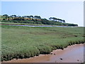
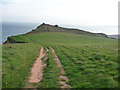
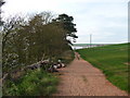
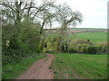
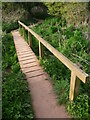
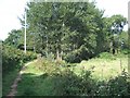
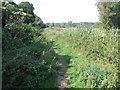
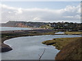
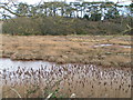
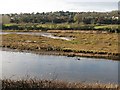
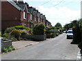
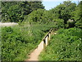
100 photos from this area
Area Information
Key information about the EX9 6ES including its size, population, and administrative classification.
- Area Type
- Postcode
- Area Size
- 2.2 hectares
- Population
- 1387
- Population Density
- 1746 people/km²
House Prices in EX9 6ES
36
Properties
£287,891
Average Sold Price
£105,000
Lowest Price
£725,000
Highest Price
Showing 36 properties
| Address | Type | Beds | Baths | Last Sale Price | Last Sale Date | |
|---|---|---|---|---|---|---|
| 42 Granary Lane, Budleigh Salterton, EX9 6ES | Terraced | 3 | 1 | £610,000 | Apr 2024 | |
| 52 Granary Lane, Budleigh Salterton, EX9 6ES | house | - | - | £515,000 | Mar 2023 | |
| 66 Granary Lane, Budleigh Salterton, EX9 6ES | house | - | - | £725,000 | Jul 2022 | |
| 11 Granary Lane, Budleigh Salterton, EX9 6ES | house | - | - | £357,500 | Apr 2019 | |
| 64 Granary Lane, Budleigh Salterton, EX9 6ES | house | - | - | £305,000 | Jul 2018 | |
| 38 Granary Lane, Budleigh Salterton, EX9 6ES | Terraced | 2 | 1 | £355,000 | May 2017 | |
| 17 Granary Lane, Budleigh Salterton, EX9 6ES | Semi-detached | 3 | 2 | £250,000 | Feb 2016 | |
| 18 Granary Lane, Budleigh Salterton, EX9 6ES | house | - | - | £355,000 | Feb 2016 | |
| 7 Granary Lane, Budleigh Salterton, EX9 6ES | Semi-detached | 3 | - | £437,000 | Sep 2015 | |
| 20 Granary Lane, Budleigh Salterton, EX9 6ES | Cottage | 2 | - | £206,000 | Feb 2014 |
Page 1 of 4
Energy Efficiency in EX9 6ES
Amenities
Schools
| Rank | School | Type | Entry gender | Ages |
|---|
Explore more schools in this area
Go to Schools tabDemographics
Household Size
Two person
most common
Accommodation Type
Houses
most common
Tenure
83
majority
Ethnic Group
White
most common
Religion
N/A
most common
Household Composition
N/A
most common
Age
70
median
Elderly (65+ years)
most common
Household Deprivation
N/A
with no deprivation
NS-SEC
48
in Lower managerial occupations
Explore more demographic insights in this area
Go to Demographics tabPlanning
Planning Constraints
- Flood RiskPremium
- Ramsar Wetland SitesPremium
- Area of Outstanding Natural BeautyPremium
- Protected Nature ReservePremium
- Protected WoodlandPremium