Area Overview for EX8 4EQ
Photos of EX8 4EQ
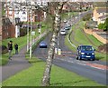
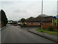
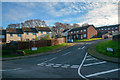
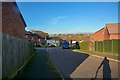
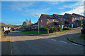
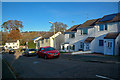
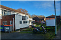
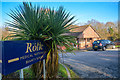
36 photos from this area
Area Information
Key information about the EX8 4EQ including its size, population, and administrative classification.
- Area Type
- Postcode
- Area Size
- 1.2 hectares
- Population
- 1493
- Population Density
- 4509 people/km²
House Prices in EX8 4EQ
30
Properties
£179,848
Average Sold Price
£69,072
Lowest Price
£516,000
Highest Price
Showing 30 properties
| Address | Type | Beds | Baths | Last Sale Price | Last Sale Date | |
|---|---|---|---|---|---|---|
| 30 York Close, Exmouth, EX8 4EQ | Detached | 4 | 2 | £516,000 | Jun 2022 | |
| 10 York Close, Exmouth, EX8 4EQ | Flat | 3 | - | £168,000 | Oct 2020 | |
| 9 York Close, Exmouth, EX8 4EQ | Maisonette | 3 | 1 | £155,000 | Jul 2020 | |
| 8 York Close, Exmouth, EX8 4EQ | Flat | - | - | £159,950 | Dec 2019 | |
| 25 York Close, Exmouth, EX8 4EQ | Terraced | 3 | 1 | £280,000 | Oct 2019 | |
| 20 York Close, Exmouth, EX8 4EQ | Maisonette | 3 | 1 | £157,000 | Aug 2016 | |
| 21 York Close, Exmouth, EX8 4EQ | Maisonette | 3 | 1 | £150,000 | Oct 2015 | |
| 19 York Close, Exmouth, EX8 4EQ | Flat | - | - | £125,000 | Jan 2012 | |
| 26 York Close, Exmouth, EX8 4EQ | house | - | - | £155,950 | Nov 2009 | |
| 24 York Close, Exmouth, EX8 4EQ | Terraced | - | - | £176,750 | Jul 2007 |
Page 1 of 3
Energy Efficiency in EX8 4EQ
Amenities
Schools
| Rank | School | Type | Entry gender | Ages |
|---|
Explore more schools in this area
Go to Schools tabDemographics
Household Size
Two person
most common
Accommodation Type
Houses
most common
Tenure
83
majority
Ethnic Group
White
most common
Religion
N/A
most common
Household Composition
N/A
most common
Age
47
median
Adults (30-64 years)
most common
Household Deprivation
N/A
with no deprivation
NS-SEC
32
in Lower managerial occupations
Explore more demographic insights in this area
Go to Demographics tabPlanning
Planning Constraints
- Flood RiskPremium
- Ramsar Wetland SitesPremium
- Area of Outstanding Natural BeautyPremium
- Protected Nature ReservePremium
- Protected WoodlandPremium