Area Overview for EX7 0EH
Photos of EX7 0EH
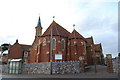
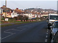
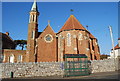
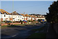
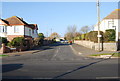
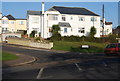
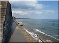
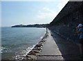
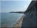
100 photos from this area
Area Information
Key information about the EX7 0EH including its size, population, and administrative classification.
- Area Type
- Postcode
- Area Size
- 1.6 hectares
- Population
- 1839
- Population Density
- 4242 people/km²
House Prices in EX7 0EH
54
Properties
£155,775
Average Sold Price
£45,500
Lowest Price
£320,000
Highest Price
Showing 54 properties
| Address | Type | Beds | Baths | Last Sale Price | Last Sale Date | |
|---|---|---|---|---|---|---|
| 55 Gatehouse Rise, Dawlish, EX7 0EH | Semi-detached | 3 | 1 | £280,000 | Jul 2025 | |
| 31 Gatehouse Rise, Dawlish, EX7 0EH | Detached | 3 | 1 | £270,000 | Jul 2025 | |
| 48 Gatehouse Rise, Dawlish, EX7 0EH | Terraced | 4 | 2 | £320,000 | Jun 2025 | |
| 42 Gatehouse Rise, Dawlish, EX7 0EH | house | 3 | 1 | £290,000 | Jun 2022 | |
| 22 Gatehouse Rise, Dawlish, EX7 0EH | Terraced | 3 | 1 | £225,000 | May 2022 | |
| 21 Gatehouse Rise, Dawlish, EX7 0EH | Retail | 3 | 1 | £215,000 | Feb 2022 | |
| 10 Gatehouse Rise, Dawlish, EX7 0EH | house | - | - | £240,000 | Feb 2020 | |
| 61 Gatehouse Rise, Dawlish, EX7 0EH | Semi-detached | 3 | 1 | £208,500 | Aug 2019 | |
| 30 Gatehouse Rise, Dawlish, EX7 0EH | house | - | - | £180,000 | Apr 2018 | |
| 7 Gatehouse Rise, Dawlish, EX7 0EH | Semi-detached | 3 | 1 | £192,000 | Jan 2018 |
Page 1 of 6
Energy Efficiency in EX7 0EH
Amenities
Schools
| Rank | School | Type | Entry gender | Ages |
|---|
Explore more schools in this area
Go to Schools tabDemographics
Household Size
Family (3-5 people)
most common
Accommodation Type
Houses
most common
Tenure
72
majority
Ethnic Group
White
most common
Religion
N/A
most common
Household Composition
N/A
most common
Age
47
median
Adults (30-64 years)
most common
Household Deprivation
N/A
with no deprivation
NS-SEC
26
in Lower managerial occupations
Explore more demographic insights in this area
Go to Demographics tabPlanning
Planning Constraints
- Flood RiskPremium
- Ramsar Wetland SitesPremium
- Area of Outstanding Natural BeautyPremium
- Protected Nature ReservePremium
- Protected WoodlandPremium