Area Overview for EX6 8NX
Photos of EX6 8NX
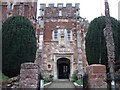
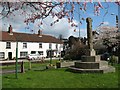
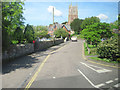
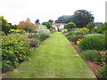
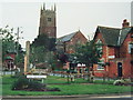
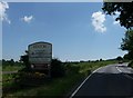
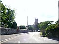
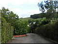
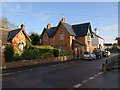
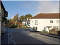
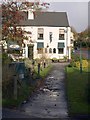
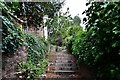
62 photos from this area
Area Information
Key information about the EX6 8NX including its size, population, and administrative classification.
- Area Type
- Postcode
- Area Size
- 15.2 hectares
- Population
- 1603
- Population Density
- 58 people/km²
House Prices in EX6 8NX
8
Properties
£277,000
Average Sold Price
£94,000
Lowest Price
£388,000
Highest Price
Showing 8 properties
| Address | Type | Beds | Baths | Last Sale Price | Last Sale Date | |
|---|---|---|---|---|---|---|
| April Cottage, Willsland Close, Kenton, EX6 8NX | Bungalow | 3 | 1 | £388,000 | Jul 2019 | |
| Stokeley, Willsland Close, Kenton, EX6 8NX | Detached | 3 | 1 | £375,000 | Dec 2016 | |
| Highbury, Willsland Close, Kenton, EX6 8NX | Detached | 3 | 2 | £342,000 | Oct 2013 | |
| May House, Willsland Close, Kenton, EX6 8NX | Bungalow | 3 | - | £345,000 | Oct 2011 | |
| Claremont, Willsland Close, Kenton, EX6 8NX | Bungalow | - | - | £235,000 | Jan 2011 | |
| Amberley, Willsland Close, Kenton, EX6 8NX | Detached | - | - | £245,000 | Oct 2003 | |
| Clover Rise, Willsland Close, Kenton, EX6 8NX | Bungalow | - | - | £94,000 | Aug 1998 | |
| The Willows, Willsland Close, Kenton, EX6 8NX | Detached | - | - | £192,000 | Jul 1996 |
Energy Efficiency in EX6 8NX
Amenities
Schools
| Rank | School | Type | Entry gender | Ages |
|---|
Explore more schools in this area
Go to Schools tabDemographics
Household Size
Two person
most common
Accommodation Type
Houses
most common
Tenure
77
majority
Ethnic Group
White
most common
Religion
N/A
most common
Household Composition
N/A
most common
Age
47
median
Adults (30-64 years)
most common
Household Deprivation
N/A
with no deprivation
NS-SEC
45
in Lower managerial occupations
Explore more demographic insights in this area
Go to Demographics tabPlanning
Planning Constraints
- Flood RiskPremium
- Ramsar Wetland SitesPremium
- Area of Outstanding Natural BeautyPremium
- Protected Nature ReservePremium
- Protected WoodlandPremium