Area Overview for EX5 5AT
Photos of EX5 5AT
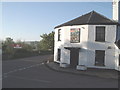
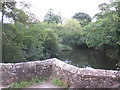
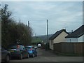
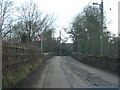
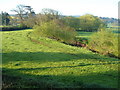
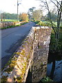
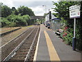
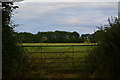
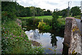
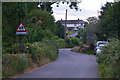
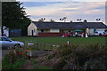
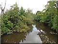
35 photos from this area
Area Information
Key information about the EX5 5AT including its size, population, and administrative classification.
- Area Type
- Postcode
- Area Size
- 47.4 hectares
- Population
- 1587
- Population Density
- 40 people/km²
House Prices in EX5 5AT
6
Properties
£270,650
Average Sold Price
£199,950
Lowest Price
£387,000
Highest Price
Showing 6 properties
| Address | Type | Beds | Baths | Last Sale Price | Last Sale Date | |
|---|---|---|---|---|---|---|
| Tarkas Hollow, Road From Station Cross To Norton Cross, Newton St Cyres, EX5 5AT | Detached | 4 | 2 | £387,000 | Jul 2012 | |
| Blenheim Cottage, Road From Station Cross To Norton Cross, Newton St Cyres, EX5 5AT | house | 3 | - | £225,000 | Aug 2009 | |
| Station House, Road From Station Cross To Norton Cross, Newton St Cyres, EX5 5AT | Detached | - | - | £199,950 | Nov 2005 | |
| Blenheim House, Road From Station Cross To Norton Cross, Newton St Cyres, EX5 5AT | Detached | - | - | - | - | |
| Newton St Cyres Football Club, Road From Newton St Cyres Cross To Station Cross, Newton St Cyres, EX5 5AT | Leisure | - | - | - | - | |
| Tennis 91M From Newton St Cyres Recreation Ground 49M From Unnamed Road, Road From Newton St Cyres Cross To Station Cross, Newton St Cyres, EX5 5AT | Leisure | - | - | - | - |
Energy Efficiency in EX5 5AT
Amenities
Schools
| Rank | School | Type | Entry gender | Ages |
|---|
Explore more schools in this area
Go to Schools tabDemographics
Household Size
Two person
most common
Accommodation Type
Houses
most common
Tenure
70
majority
Ethnic Group
White
most common
Religion
N/A
most common
Household Composition
N/A
most common
Age
47
median
Adults (30-64 years)
most common
Household Deprivation
N/A
with no deprivation
NS-SEC
40
in Lower managerial occupations
Explore more demographic insights in this area
Go to Demographics tabPlanning
Planning Constraints
- Flood RiskPremium
- Ramsar Wetland SitesPremium
- Area of Outstanding Natural BeautyPremium
- Protected Nature ReservePremium
- Protected WoodlandPremium