Area Overview for EX5 4BY
Photos of EX5 4BY
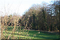
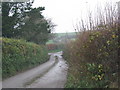
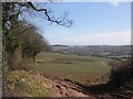
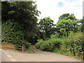
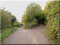
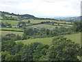
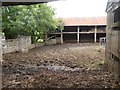
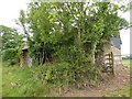
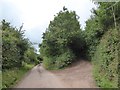
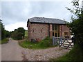
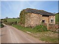
29 photos from this area
Area Information
Key information about the EX5 4BY including its size, population, and administrative classification.
- Area Type
- Postcode
- Area Size
- 52.5 hectares
- Population
- 1656
- Population Density
- 35 people/km²
House Prices in EX5 4BY
6
Properties
£514,250
Average Sold Price
£295,000
Lowest Price
£733,500
Highest Price
Showing 6 properties
| Address | Type | Beds | Baths | Last Sale Price | Last Sale Date | |
|---|---|---|---|---|---|---|
| Lower Brithayes, Road From Shotash Farm To Butterleigh Mill, Silverton, EX5 4BY | Detached | 4 | 3 | £733,500 | Sep 2018 | |
| Roseburne, Road From Shotash Farm To Butterleigh Mill, Silverton, EX5 4BY | Detached | 4 | 3 | £295,000 | Dec 2017 | |
| Mobile Home, Lower Brithayes Barn, Road From Shotash Farm To Butterleigh Mill, Silverton, EX5 4BY | Mobile Home | - | - | - | - | |
| Higher Brithayes Farm, Road From Shotash Farm To Butterleigh Mill, Silverton, EX5 4BY | house | 2 | 1 | - | - | |
| Lower Brithayes Barn, Road From Shotash Farm To Butterleigh Mill, Silverton, EX5 4BY | Detached | - | - | - | - | |
| Bowford Court, Road From Shotash Farm To Butterleigh Mill, Silverton, EX5 4BY | Detached | - | - | - | - |
Energy Efficiency in EX5 4BY
Amenities
Schools
| Rank | School | Type | Entry gender | Ages |
|---|
Explore more schools in this area
Go to Schools tabDemographics
Household Size
Two person
most common
Accommodation Type
Houses
most common
Tenure
78
majority
Ethnic Group
White
most common
Religion
N/A
most common
Household Composition
N/A
most common
Age
47
median
Adults (30-64 years)
most common
Household Deprivation
N/A
with no deprivation
NS-SEC
43
in Lower managerial occupations
Explore more demographic insights in this area
Go to Demographics tabPlanning
Planning Constraints
- Flood RiskPremium
- Ramsar Wetland SitesPremium
- Area of Outstanding Natural BeautyPremium
- Protected Nature ReservePremium
- Protected WoodlandPremium