Area Overview for EX5 2JJ
Photos of EX5 2JJ

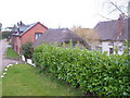
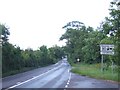
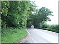
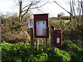
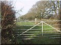
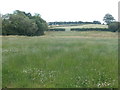
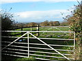
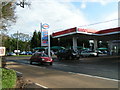
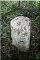
11 photos from this area
Area Information
Key information about the EX5 2JJ including its size, population, and administrative classification.
- Area Type
- Postcode
- Area Size
- 72.1 hectares
- Population
- 2208
- Population Density
- 56 people/km²
House Prices in EX5 2JJ
25
Properties
£450,022
Average Sold Price
£22,000
Lowest Price
£900,000
Highest Price
Showing 25 properties
| Address | Type | Beds | Baths | Last Sale Price | Last Sale Date | |
|---|---|---|---|---|---|---|
| Greenfields, Sidmouth Road, Aylesbeare, EX5 2JJ | Detached | 4 | 3 | £190,177 | Jan 2024 | |
| Higher Barn, Sidmouth Road, Aylesbeare, EX5 2JJ | Bungalow | 3 | 1 | £540,000 | Jun 2023 | |
| Acorn Park, Sidmouth Road, Aylesbeare, EX5 2JJ | Detached | 8 | 6 | £900,000 | May 2022 | |
| Seven Milestone Barn, Sidmouth Road, Aylesbeare, EX5 2JJ | house | - | - | £583,000 | Mar 2021 | |
| Hayes Drift, Sidmouth Road, Aylesbeare, EX5 2JJ | Detached | 3 | 2 | £490,000 | May 2012 | |
| The View, Sidmouth Road, Aylesbeare, EX5 2JJ | Bungalow | 5 | - | £575,000 | Jan 2011 | |
| Roundhayes, Sidmouth Road, Aylesbeare, EX5 2JJ | house | - | - | £300,000 | Feb 2006 | |
| Higher Briarcliff, Sidmouth Road, Aylesbeare, EX5 2JJ | Detached | - | - | £22,000 | Oct 1995 | |
| Cumbria, Sidmouth Road, Aylesbeare, EX5 2JJ | Retail | 4 | 2 | - | - | |
| Owleshayes, Sidmouth Road, Aylesbeare, EX5 2JJ | Detached | 5 | 2 | - | - |
Page 1 of 3
Energy Efficiency in EX5 2JJ
Amenities
Schools
| Rank | School | Type | Entry gender | Ages |
|---|
Explore more schools in this area
Go to Schools tabDemographics
Household Size
Two person
most common
Accommodation Type
Houses
most common
Tenure
68
majority
Ethnic Group
White
most common
Religion
N/A
most common
Household Composition
N/A
most common
Age
47
median
Adults (30-64 years)
most common
Household Deprivation
N/A
with no deprivation
NS-SEC
37
in Lower managerial occupations
Explore more demographic insights in this area
Go to Demographics tabPlanning
Planning Constraints
- Flood RiskPremium
- Ramsar Wetland SitesPremium
- Area of Outstanding Natural BeautyPremium
- Protected Nature ReservePremium
- Protected WoodlandPremium