Area Overview for EX5 1NE
Photos of EX5 1NE
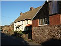
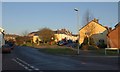
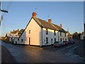
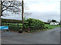
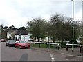
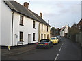
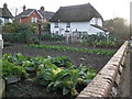
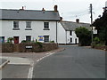
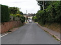
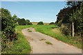
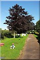
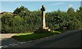
41 photos from this area
Area Information
Key information about the EX5 1NE including its size, population, and administrative classification.
- Area Type
- Postcode
- Area Size
- 2.1 hectares
- Population
- 1750
- Population Density
- 671 people/km²
House Prices in EX5 1NE
19
Properties
£338,083
Average Sold Price
£83,500
Lowest Price
£825,000
Highest Price
Showing 19 properties
| Address | Type | Beds | Baths | Last Sale Price | Last Sale Date | |
|---|---|---|---|---|---|---|
| Tresalmer, Town Lane, Woodbury, EX5 1NE | Bungalow | 4 | 3 | £450,000 | Nov 2020 | |
| Oaklea, Town Lane, Woodbury, EX5 1NE | Bungalow | 3 | 1 | £380,000 | Aug 2020 | |
| Allerdown, Town Lane, Woodbury, EX5 1NE | Detached | 4 | 2 | £485,000 | Sep 2017 | |
| Rosedale, Town Lane, Woodbury, EX5 1NE | Detached | - | - | £337,500 | Jul 2012 | |
| Little Hayes, Town Lane, Woodbury, EX5 1NE | house | - | - | £380,000 | Dec 2010 | |
| Town House, Town Lane, Woodbury, EX5 1NE | house | - | - | £390,000 | Mar 2007 | |
| Springhayes, Town Lane, Woodbury, EX5 1NE | Detached | - | - | £825,000 | Jul 2003 | |
| Brambletye, Town Lane, Woodbury, EX5 1NE | Semi-detached | - | - | £235,000 | Jun 2003 | |
| Elmside, Town Lane, Woodbury, EX5 1NE | Detached | - | - | £280,000 | Jul 2001 | |
| Werneth, Town Lane, Woodbury, EX5 1NE | Detached | 4 | 2 | £83,500 | Nov 1997 |
Page 1 of 2
Energy Efficiency in EX5 1NE
Amenities
Schools
| Rank | School | Type | Entry gender | Ages |
|---|
Explore more schools in this area
Go to Schools tabDemographics
Household Size
Two person
most common
Accommodation Type
Houses
most common
Tenure
74
majority
Ethnic Group
White
most common
Religion
N/A
most common
Household Composition
N/A
most common
Age
47
median
Adults (30-64 years)
most common
Household Deprivation
N/A
with no deprivation
NS-SEC
50
in Lower managerial occupations
Explore more demographic insights in this area
Go to Demographics tabPlanning
Planning Constraints
- Flood RiskPremium
- Ramsar Wetland SitesPremium
- Area of Outstanding Natural BeautyPremium
- Protected Nature ReservePremium
- Protected WoodlandPremium