Area Overview for EX4 4RY
Photos of EX4 4RY
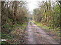
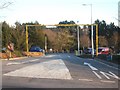
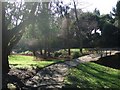
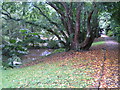
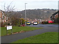


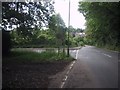
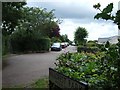
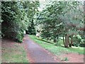

94 photos from this area
Area Information
Key information about the EX4 4RY including its size, population, and administrative classification.
- Area Type
- Postcode
- Area Size
- 6.9 hectares
- Population
- 3565
- Population Density
- 1848 people/km²
House Prices in EX4 4RY
31
Properties
£404,305
Average Sold Price
£63,000
Lowest Price
£1,030,000
Highest Price
Showing 31 properties
| Address | Type | Beds | Baths | Last Sale Price | Last Sale Date | |
|---|---|---|---|---|---|---|
| Highcorner, 2 Argyll Road, Exeter, EX4 4RY | Detached | 5 | 3 | £1,030,000 | Aug 2024 | |
| 56 Argyll Road, Exeter, EX4 4RY | Detached | 4 | 1 | £700,000 | Apr 2023 | |
| 50 Argyll Road, Exeter, EX4 4RY | Semi-detached | 4 | 2 | £700,000 | Dec 2022 | |
| 24 Argyll Road, Exeter, EX4 4RY | house | - | - | £600,000 | Dec 2021 | |
| 82 Argyll Road, Exeter, EX4 4RY | house | 4 | 3 | £467,408 | Jan 2021 | |
| 58 Argyll Road, Exeter, EX4 4RY | house | - | - | £500,000 | Dec 2020 | |
| 70 Argyll Road, Exeter, EX4 4RY | Detached | 3 | 2 | £520,000 | Aug 2020 | |
| 28 Argyll Road, Exeter, EX4 4RY | Land | - | - | £477,507 | Jun 2018 | |
| 66 Argyll Road, Exeter, EX4 4RY | Detached | 3 | 1 | £375,000 | Sep 2016 | |
| 44 Argyll Road, Exeter, EX4 4RY | Bungalow | - | - | £350,000 | Sep 2016 |
Page 1 of 4
Energy Efficiency in EX4 4RY
Amenities
Schools
| Rank | School | Type | Entry gender | Ages |
|---|
Explore more schools in this area
Go to Schools tabDemographics
Household Size
Two person
most common
Accommodation Type
Houses
most common
Tenure
89
majority
Ethnic Group
White
most common
Religion
N/A
most common
Household Composition
N/A
most common
Age
22
median
Young Adults (15-29 years)
most common
Household Deprivation
N/A
with no deprivation
NS-SEC
15
in Lower managerial occupations
Explore more demographic insights in this area
Go to Demographics tabPlanning
Planning Constraints
- Flood RiskPremium
- Ramsar Wetland SitesPremium
- Area of Outstanding Natural BeautyPremium
- Protected Nature ReservePremium
- Protected WoodlandPremium