Area Overview for EX4 2AT
Photos of EX4 2AT
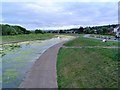
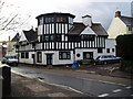
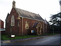
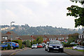
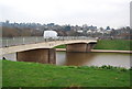

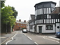
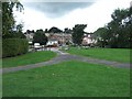

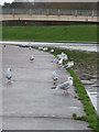
100 photos from this area
Area Information
Key information about the EX4 2AT including its size, population, and administrative classification.
- Area Type
- Postcode
- Area Size
- 1.3 hectares
- Population
- 1454
- Population Density
- 4188 people/km²
House Prices in EX4 2AT
15
Properties
£285,825
Average Sold Price
£74,950
Lowest Price
£535,000
Highest Price
Showing 15 properties
| Address | Type | Beds | Baths | Last Sale Price | Last Sale Date | |
|---|---|---|---|---|---|---|
| Linmore House, Exwick Road, Exeter, EX4 2AT | Detached | 4 | 2 | £535,000 | Jul 2021 | |
| 235 Exwick Road, Exeter, EX4 2AT | house | - | - | £415,000 | Jan 2021 | |
| 229 Exwick Road, Exeter, EX4 2AT | house | - | - | £325,000 | Sep 2010 | |
| 231 Exwick Road, Exeter, EX4 2AT | Detached | 4 | 3 | £240,000 | Aug 2004 | |
| Toll Cottage, Exwick Road, Exeter, EX4 2AT | Bungalow | 1 | 1 | £74,950 | Jul 2002 | |
| 239 Exwick Road, Exeter, EX4 2AT | Detached | - | - | £125,000 | Apr 2002 | |
| Gable House, Exwick Manor, 237 Exwick Road, Exeter, EX4 2AT | Terraced | 2 | 1 | - | - | |
| 229A Exwick Road, Exeter, EX4 2AT | Bungalow | 3 | 1 | - | - | |
| 2, Exwick Manor, 237 Exwick Road, Exeter, EX4 2AT | Detached | 2 | 2 | - | - | |
| Exwick School House, Exwick Road, Exeter, EX4 2AT | community_day_centre | - | - | - | - |
Page 1 of 2
Energy Efficiency in EX4 2AT
Amenities
Schools
| Rank | School | Type | Entry gender | Ages |
|---|
Explore more schools in this area
Go to Schools tabDemographics
Household Size
Two person
most common
Accommodation Type
Houses
most common
Tenure
75
majority
Ethnic Group
White
most common
Religion
N/A
most common
Household Composition
N/A
most common
Age
47
median
Adults (30-64 years)
most common
Household Deprivation
N/A
with no deprivation
NS-SEC
27
in Lower managerial occupations
Explore more demographic insights in this area
Go to Demographics tabPlanning
Planning Constraints
- Flood RiskPremium
- Ramsar Wetland SitesPremium
- Area of Outstanding Natural BeautyPremium
- Protected Nature ReservePremium
- Protected WoodlandPremium