Area Overview for EX4 1NW
Photos of EX4 1NW
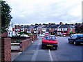
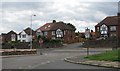
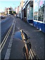
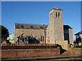
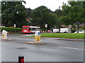
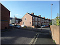
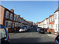
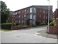
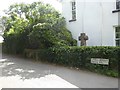
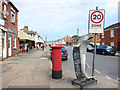
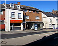
77 photos from this area
Area Information
Key information about the EX4 1NW including its size, population, and administrative classification.
- Area Type
- Postcode
- Area Size
- 5839 m²
- Population
- Not available
- Population Density
- Not available
House Prices in EX4 1NW
18
Properties
£177,917
Average Sold Price
£69,000
Lowest Price
£275,000
Highest Price
Showing 18 properties
| Address | Type | Beds | Baths | Last Sale Price | Last Sale Date | |
|---|---|---|---|---|---|---|
| 70A Barley Farm Road, Cowick, Exeter, EX4 1NW | Flat | 2 | 1 | £147,000 | May 2024 | |
| 76 Barley Farm Road, Cowick, Exeter, EX4 1NW | Flat | 2 | 1 | £210,000 | May 2022 | |
| 76A Barley Farm Road, Cowick, Exeter, EX4 1NW | Flat | 2 | 1 | £161,000 | Jan 2022 | |
| 84 Barley Farm Road, Cowick, Exeter, EX4 1NW | Flat | 2 | 1 | £275,000 | Sep 2021 | |
| 74A Barley Farm Road, Cowick, Exeter, EX4 1NW | Maisonette | 2 | - | £155,000 | Nov 2020 | |
| 72 Barley Farm Road, Cowick, Exeter, EX4 1NW | Flat | - | - | £115,000 | Aug 2019 | |
| 88 Barley Farm Road, Cowick, Exeter, EX4 1NW | Terraced | 3 | 1 | £237,000 | Nov 2018 | |
| 94 Barley Farm Road, Cowick, Exeter, EX4 1NW | house | - | - | £220,000 | Feb 2016 | |
| 100 Barley Farm Road, Cowick, Exeter, EX4 1NW | Semi-detached | 4 | 2 | £215,000 | Feb 2016 | |
| 72A Barley Farm Road, Cowick, Exeter, EX4 1NW | Flat | 2 | 1 | £136,000 | Feb 2014 |
Page 1 of 2
Energy Efficiency in EX4 1NW
Amenities
Schools
| Rank | School | Type | Entry gender | Ages |
|---|
Explore more schools in this area
Go to Schools tabDemographics
Household Size
Two person
most common
Accommodation Type
Houses
most common
Tenure
74
majority
Ethnic Group
White
most common
Religion
N/A
most common
Household Composition
N/A
most common
Age
47
median
Adults (30-64 years)
most common
Household Deprivation
N/A
with no deprivation
NS-SEC
29
in Lower managerial occupations
Explore more demographic insights in this area
Go to Demographics tabPlanning
Planning Constraints
- Flood RiskPremium
- Ramsar Wetland SitesPremium
- Area of Outstanding Natural BeautyPremium
- Protected Nature ReservePremium
- Protected WoodlandPremium