Area Overview for EX4 1HL
Photos of EX4 1HL
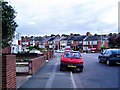
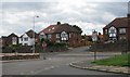
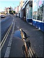
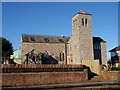
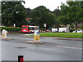
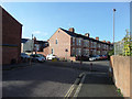
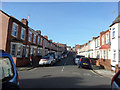
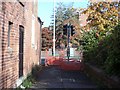
77 photos from this area
Area Information
Key information about the EX4 1HL including its size, population, and administrative classification.
- Area Type
- Postcode
- Area Size
- 5474 m²
- Population
- 1626
- Population Density
- 9582 people/km²
House Prices in EX4 1HL
11
Properties
£173,033
Average Sold Price
£49,950
Lowest Price
£237,500
Highest Price
Showing 11 properties
| Address | Type | Beds | Baths | Last Sale Price | Last Sale Date | |
|---|---|---|---|---|---|---|
| 85 Cowick Street, Exeter, EX4 1HL | Detached | 2 | 1 | £230,000 | Jun 2024 | |
| 87 Cowick Street, Exeter, EX4 1HL | house | - | - | £237,500 | Feb 2023 | |
| 83 Cowick Street, Exeter, EX4 1HL | Cottage | 2 | 1 | £181,000 | Aug 2020 | |
| 84 Cowick Street, Exeter, EX4 1HL | house | 2 | 1 | £192,750 | Aug 2016 | |
| 88 Cowick Street, Exeter, EX4 1HL | house | 3 | - | £147,000 | Aug 2004 | |
| 86 Cowick Street, Exeter, EX4 1HL | Terraced | - | - | £49,950 | Jul 1999 | |
| Cowick First School, Cowick Street, Exeter, EX4 1HL | Industrial | - | - | - | - | |
| 73 Cowick Street, Exeter, EX4 1HL | Industrial | - | - | - | - | |
| Flat First And Last, First And Last, Cowick Street, Exeter, EX4 1HL | Flat | - | - | - | - | |
| Recycling Point, West Exe Childrens Centre Opposite Wardrew Road, Cowick Street, Exeter, EX4 1HL | commercial | - | - | - | - |
Page 1 of 2
Energy Efficiency in EX4 1HL
Amenities
Schools
| Rank | School | Type | Entry gender | Ages |
|---|
Explore more schools in this area
Go to Schools tabDemographics
Household Size
Family (3-5 people)
most common
Accommodation Type
Houses
most common
Tenure
68
majority
Ethnic Group
White
most common
Religion
N/A
most common
Household Composition
N/A
most common
Age
47
median
Adults (30-64 years)
most common
Household Deprivation
N/A
with no deprivation
NS-SEC
35
in Lower managerial occupations
Explore more demographic insights in this area
Go to Demographics tabPlanning
Planning Constraints
- Flood RiskPremium
- Ramsar Wetland SitesPremium
- Area of Outstanding Natural BeautyPremium
- Protected Nature ReservePremium
- Protected WoodlandPremium