Area Overview for EX39 6DU
Photos of EX39 6DU
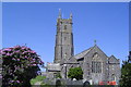
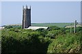


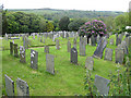
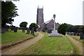
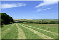
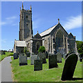
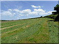
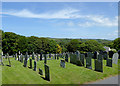

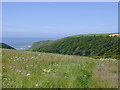
79 photos from this area
Area Information
Key information about the EX39 6DU including its size, population, and administrative classification.
- Area Type
- Postcode
- Area Size
- 1.7 km²
- Population
- 1566
- Population Density
- 36 people/km²
House Prices in EX39 6DU
35
Properties
£318,250
Average Sold Price
£80,000
Lowest Price
£550,000
Highest Price
Showing 35 properties
| Address | Type | Beds | Baths | Last Sale Price | Last Sale Date | |
|---|---|---|---|---|---|---|
| Coombe House, Road From Hartland Quay To Lych Gate, Stoke, EX39 6DU | Detached | 3 | 1 | £550,000 | Mar 2025 | |
| Bear Cottage, Road From Hartland Quay To Lych Gate, Stoke, EX39 6DU | Semi-detached | 3 | 2 | £340,000 | Mar 2025 | |
| The Tynings, Road Heading East From The Tynings, Stoke, EX39 6DU | Bungalow | 3 | 1 | £518,000 | Apr 2023 | |
| Homeleigh, Road From Berry Farm To Homeleigh, Stoke, EX39 6DU | house | - | - | £462,500 | Mar 2023 | |
| The Gables, Road From Rose Cottage To Kernstone Cross, Stoke, EX39 6DU | house | - | - | £429,950 | Mar 2021 | |
| Tree View, Road From Bear House To Bow Bridge Cross, Stoke, EX39 6DU | Bungalow | 3 | - | £283,000 | Jan 2014 | |
| Clouds, Road From Rose Cottage To Kernstone Cross, Stoke, EX39 6DU | Bungalow | 4 | 1 | £304,500 | Jan 2013 | |
| Claremont, Road From Bear House To Bow Bridge Cross, Stoke, EX39 6DU | Bungalow | 2 | - | £275,000 | Nov 2012 | |
| Samphire, Road From Hartland Quay To Lych Gate, Stoke, EX39 6DU | Bungalow | - | - | £335,000 | Dec 2009 | |
| St Nectans View, Road From Rose Cottage To Kernstone Cross, Stoke, EX39 6DU | Detached | - | - | £285,000 | Oct 2007 |
Page 1 of 4
Energy Efficiency in EX39 6DU
Amenities
Schools
| Rank | School | Type | Entry gender | Ages |
|---|
Explore more schools in this area
Go to Schools tabDemographics
Household Size
Two person
most common
Accommodation Type
Houses
most common
Tenure
65
majority
Ethnic Group
White
most common
Religion
N/A
most common
Household Composition
N/A
most common
Age
47
median
Adults (30-64 years)
most common
Household Deprivation
N/A
with no deprivation
NS-SEC
26
in Lower managerial occupations
Explore more demographic insights in this area
Go to Demographics tabPlanning
Planning Constraints
- Flood RiskPremium
- Ramsar Wetland SitesPremium
- Area of Outstanding Natural BeautyPremium
- Protected Nature ReservePremium