Area Overview for EX39 6BD
Photos of EX39 6BD
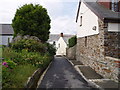
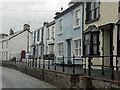
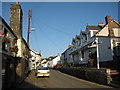
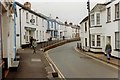
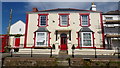
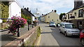
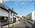
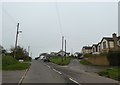
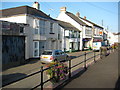
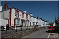
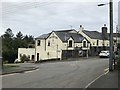
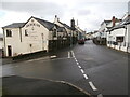
19 photos from this area
Area Information
Key information about the EX39 6BD including its size, population, and administrative classification.
- Area Type
- Postcode
- Area Size
- 1.2 hectares
- Population
- 1566
- Population Density
- 36 people/km²
House Prices in EX39 6BD
29
Properties
£168,555
Average Sold Price
£37,825
Lowest Price
£274,950
Highest Price
Showing 29 properties
| Address | Type | Beds | Baths | Last Sale Price | Last Sale Date | |
|---|---|---|---|---|---|---|
| 25 Fore Street, Hartland, EX39 6BD | house | 5 | 1 | £230,000 | Jul 2021 | |
| 55 Fore Street, Hartland, EX39 6BD | Terraced | 3 | 2 | £265,000 | Sep 2019 | |
| 58 Fore Street, Hartland, EX39 6BD | house | 4 | - | £274,950 | Jun 2019 | |
| 56 Fore Street, Hartland, EX39 6BD | house | - | - | £245,000 | Apr 2019 | |
| 61 Fore Street, Hartland, EX39 6BD | house | - | - | £200,000 | Feb 2019 | |
| 19 Fore Street, Hartland, EX39 6BD | house | 3 | 1 | £182,500 | Sep 2018 | |
| Vine Cottage, 16 Fore Street, Hartland, EX39 6BD | Terraced | 2 | 1 | £135,500 | Oct 2017 | |
| 59 Fore Street, Hartland, EX39 6BD | Terraced | 2 | 1 | £134,000 | Jul 2017 | |
| The Old Showrooms, 23 Fore Street, Hartland, EX39 6BD | Detached | 3 | - | £50,000 | Apr 2014 | |
| 57 Fore Street, Hartland, EX39 6BD | house | - | - | £248,000 | Jul 2010 |
Page 1 of 3
Energy Efficiency in EX39 6BD
Amenities
Schools
| Rank | School | Type | Entry gender | Ages |
|---|
Explore more schools in this area
Go to Schools tabDemographics
Household Size
Two person
most common
Accommodation Type
Houses
most common
Tenure
65
majority
Ethnic Group
White
most common
Religion
N/A
most common
Household Composition
N/A
most common
Age
47
median
Adults (30-64 years)
most common
Household Deprivation
N/A
with no deprivation
NS-SEC
26
in Lower managerial occupations
Explore more demographic insights in this area
Go to Demographics tabPlanning
Planning Constraints
- Flood RiskPremium
- Ramsar Wetland SitesPremium
- Area of Outstanding Natural BeautyPremium
- Protected Nature ReservePremium
- Protected WoodlandPremium