Area Overview for EX39 5DX
Photos of EX39 5DX
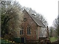
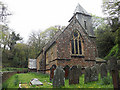
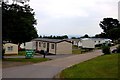

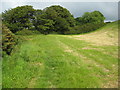
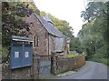
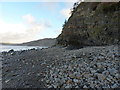
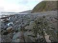
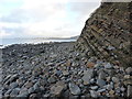
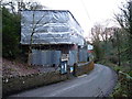
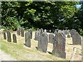
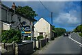
26 photos from this area
Area Information
Key information about the EX39 5DX including its size, population, and administrative classification.
- Area Type
- Postcode
- Area Size
- 51.1 hectares
- Population
- 1632
- Population Density
- 38 people/km²
House Prices in EX39 5DX
9
Properties
£476,890
Average Sold Price
£387,500
Lowest Price
£566,280
Highest Price
Showing 9 properties
| Address | Type | Beds | Baths | Last Sale Price | Last Sale Date | |
|---|---|---|---|---|---|---|
| Currabinny, Road From Downland Cross To Bucks Cross, Bucks Cross, EX39 5DX | house | - | - | £566,280 | Oct 2022 | |
| Highstead Bungalow, Lane To Highstead Farm, Bucks Cross, EX39 5DX | Bungalow | 3 | 2 | £387,500 | Apr 2017 | |
| Highstead, Lane To Highstead Farm, Bucks Cross, EX39 5DX | Land | 5 | 3 | - | - | |
| Walland Cary Lodge, Bideford Bay Holiday Village, Road From Downland Cross To Bucks Cross, Bucks Cross, EX39 5DX | Detached | 2 | 1 | - | - | |
| Site Of Old School House Caravan, Lane To Highstead Farm, Bucks Cross, EX39 5DX | Mobile Home | - | - | - | - | |
| Site Of Mobile Home, Everlong, Lane To Highstead Farm, Bucks Cross, EX39 5DX | Mobile Home | - | - | - | - | |
| Manor Park 14, Bideford Bay Holiday Village, Road From Downland Cross To Bucks Cross, Bucks Cross, EX39 5DX | Mobile Home | - | - | - | - | |
| Avalon, Lane To Highstead Farm, Bucks Cross, EX39 5DX | Detached | - | - | - | - | |
| Brackenside, Road From Downland Cross To Bucks Cross, Bucks Cross, EX39 5DX | house | - | - | - | - |
Energy Efficiency in EX39 5DX
Amenities
Schools
| Rank | School | Type | Entry gender | Ages |
|---|
Explore more schools in this area
Go to Schools tabDemographics
Household Size
Two person
most common
Accommodation Type
Houses
most common
Tenure
63
majority
Ethnic Group
White
most common
Religion
N/A
most common
Household Composition
N/A
most common
Age
47
median
Adults (30-64 years)
most common
Household Deprivation
N/A
with no deprivation
NS-SEC
26
in Lower managerial occupations
Explore more demographic insights in this area
Go to Demographics tabPlanning
Planning Constraints
- Flood RiskPremium
- Ramsar Wetland SitesPremium
- Area of Outstanding Natural BeautyPremium
- Protected Nature ReservePremium
- Protected WoodlandPremium