Area Overview for EX39 1UW
Photos of EX39 1UW
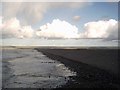
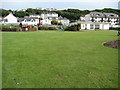
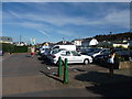
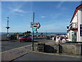
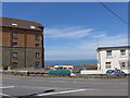
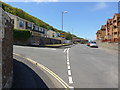
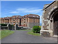
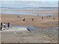
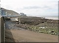
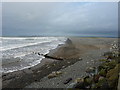
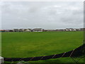
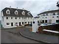
100 photos from this area
Area Information
Key information about the EX39 1UW including its size, population, and administrative classification.
- Area Type
- Postcode
- Area Size
- 1.4 hectares
- Population
- 1801
- Population Density
- 1292 people/km²
House Prices in EX39 1UW
38
Properties
£201,334
Average Sold Price
£78,000
Lowest Price
£410,000
Highest Price
Showing 38 properties
| Address | Type | Beds | Baths | Last Sale Price | Last Sale Date | |
|---|---|---|---|---|---|---|
| 41 Coral Avenue, Westward Ho, EX39 1UW | Bungalow | - | - | £368,500 | Mar 2024 | |
| 10 Coral Avenue, Westward Ho, EX39 1UW | Bungalow | 3 | 2 | £410,000 | Dec 2023 | |
| 21 Coral Avenue, Westward Ho, EX39 1UW | Detached | 3 | 2 | £365,000 | Nov 2022 | |
| 25 Coral Avenue, Westward Ho, EX39 1UW | Bungalow | - | - | £325,000 | May 2021 | |
| 23 Coral Avenue, Westward Ho, EX39 1UW | house | - | - | £308,000 | Apr 2021 | |
| 24 Coral Avenue, Westward Ho, EX39 1UW | Bungalow | 3 | 1 | £270,000 | Mar 2020 | |
| 14 Coral Avenue, Westward Ho, EX39 1UW | Bungalow | 3 | 2 | £269,000 | Sep 2019 | |
| 28 Coral Avenue, Westward Ho, EX39 1UW | Bungalow | 3 | 2 | £279,950 | Aug 2019 | |
| 29 Coral Avenue, Westward Ho, EX39 1UW | Bungalow | - | - | £245,000 | Nov 2018 | |
| 37 Coral Avenue, Westward Ho, EX39 1UW | Bungalow | - | - | £245,000 | Nov 2018 |
Page 1 of 4
Energy Efficiency in EX39 1UW
Amenities
Schools
| Rank | School | Type | Entry gender | Ages |
|---|
Explore more schools in this area
Go to Schools tabDemographics
Household Size
Two person
most common
Accommodation Type
Houses
most common
Tenure
78
majority
Ethnic Group
White
most common
Religion
N/A
most common
Household Composition
N/A
most common
Age
47
median
Adults (30-64 years)
most common
Household Deprivation
N/A
with no deprivation
NS-SEC
30
in Lower managerial occupations
Explore more demographic insights in this area
Go to Demographics tabPlanning
Planning Constraints
- Flood RiskPremium
- Ramsar Wetland SitesPremium
- Area of Outstanding Natural BeautyPremium
- Protected Nature ReservePremium
- Protected WoodlandPremium