Area Overview for EX39 1UJ
Photos of EX39 1UJ
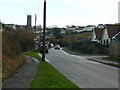
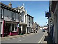
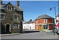
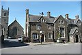
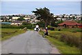
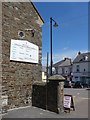
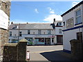
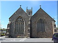
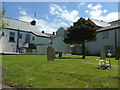
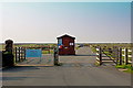
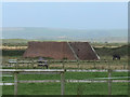
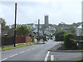
62 photos from this area
Area Information
Key information about the EX39 1UJ including its size, population, and administrative classification.
- Area Type
- Postcode
- Area Size
- 1.6 hectares
- Population
- 1801
- Population Density
- 1292 people/km²
House Prices in EX39 1UJ
34
Properties
£172,592
Average Sold Price
£44,950
Lowest Price
£420,000
Highest Price
Showing 34 properties
| Address | Type | Beds | Baths | Last Sale Price | Last Sale Date | |
|---|---|---|---|---|---|---|
| 25 Galleon Way, Westward Ho, EX39 1UJ | Terraced | 3 | 1 | £265,000 | Nov 2025 | |
| 34 Galleon Way, Westward Ho, EX39 1UJ | Terraced | 3 | 1 | £270,000 | Oct 2025 | |
| 7 Galleon Way, Westward Ho, EX39 1UJ | Terraced | 2 | 1 | £220,000 | Apr 2024 | |
| 28 Galleon Way, Westward Ho, EX39 1UJ | Semi-detached | 3 | 1 | £272,500 | Oct 2023 | |
| 4 Galleon Way, Westward Ho, EX39 1UJ | Semi-detached | 3 | 1 | £260,000 | Jun 2023 | |
| Westward View House, Galleon Way, Westward Ho, EX39 1UJ | Detached | 3 | 2 | £420,000 | Dec 2022 | |
| 6 Galleon Way, Westward Ho, EX39 1UJ | house | 2 | - | £235,000 | Feb 2022 | |
| 33 Galleon Way, Westward Ho, EX39 1UJ | house | - | - | £220,000 | Dec 2021 | |
| 12 Galleon Way, Westward Ho, EX39 1UJ | Bungalow | - | - | £315,000 | Aug 2021 | |
| 19 Galleon Way, Westward Ho, EX39 1UJ | Semi-detached | 3 | 1 | £209,950 | Mar 2021 |
Page 1 of 4
Energy Efficiency in EX39 1UJ
Amenities
Schools
| Rank | School | Type | Entry gender | Ages |
|---|
Explore more schools in this area
Go to Schools tabDemographics
Household Size
Two person
most common
Accommodation Type
Houses
most common
Tenure
78
majority
Ethnic Group
White
most common
Religion
N/A
most common
Household Composition
N/A
most common
Age
47
median
Adults (30-64 years)
most common
Household Deprivation
N/A
with no deprivation
NS-SEC
30
in Lower managerial occupations
Explore more demographic insights in this area
Go to Demographics tabPlanning
Planning Constraints
- Flood RiskPremium
- Ramsar Wetland SitesPremium
- Area of Outstanding Natural BeautyPremium
- Protected Nature ReservePremium
- Protected WoodlandPremium