Area Overview for EX39 1UH
Photos of EX39 1UH
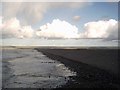
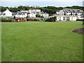
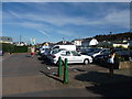
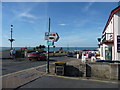
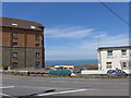
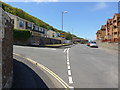
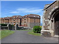
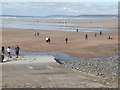
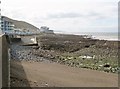
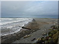
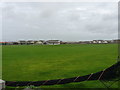
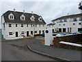
100 photos from this area
Area Information
Key information about the EX39 1UH including its size, population, and administrative classification.
- Area Type
- Postcode
- Area Size
- 9723 m²
- Population
- 1128
- Population Density
- 3056 people/km²
House Prices in EX39 1UH
15
Properties
£237,593
Average Sold Price
£139,000
Lowest Price
£390,000
Highest Price
Showing 15 properties
| Address | Type | Beds | Baths | Last Sale Price | Last Sale Date | |
|---|---|---|---|---|---|---|
| 8 Dune View, Westward Ho, EX39 1UH | Bungalow | 3 | 2 | £190,000 | Nov 2021 | |
| 7 Dune View, Westward Ho, EX39 1UH | Bungalow | - | - | £390,000 | Feb 2021 | |
| 5 Dune View, Westward Ho, EX39 1UH | Bungalow | - | - | £315,000 | Oct 2017 | |
| 3 Dune View, Westward Ho, EX39 1UH | Bungalow | 3 | 2 | £347,500 | Jul 2017 | |
| 11 Dune View, Westward Ho, EX39 1UH | Bungalow | 3 | 2 | £299,950 | Jan 2017 | |
| 9 Dune View, Westward Ho, EX39 1UH | Bungalow | - | - | £285,000 | May 2016 | |
| 16 Dune View, Westward Ho, EX39 1UH | Bungalow | 3 | - | £245,000 | Mar 2013 | |
| 10 Dune View, Westward Ho, EX39 1UH | Bungalow | 3 | - | £248,000 | Oct 2012 | |
| 1 Dune View, Westward Ho, EX39 1UH | Detached | 3 | 2 | £239,950 | Jul 2010 | |
| 14 Dune View, Westward Ho, EX39 1UH | house | - | - | £230,000 | Aug 2009 |
Page 1 of 2
Energy Efficiency in EX39 1UH
Amenities
Schools
| Rank | School | Type | Entry gender | Ages |
|---|
Explore more schools in this area
Go to Schools tabDemographics
Household Size
One person
most common
Accommodation Type
Houses
most common
Tenure
64
majority
Ethnic Group
White
most common
Religion
N/A
most common
Household Composition
N/A
most common
Age
47
median
Elderly (65+ years)
most common
Household Deprivation
N/A
with no deprivation
NS-SEC
28
in Lower managerial occupations
Explore more demographic insights in this area
Go to Demographics tabPlanning
Planning Constraints
- Flood RiskPremium
- Ramsar Wetland SitesPremium
- Area of Outstanding Natural BeautyPremium
- Protected Nature ReservePremium
- Protected WoodlandPremium