Area Overview for EX39 1EZ
Photos of EX39 1EZ
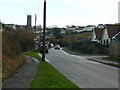
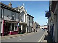
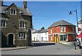

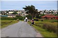
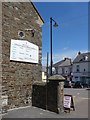
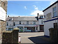

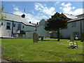

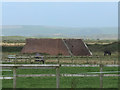
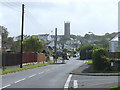
62 photos from this area
Area Information
Key information about the EX39 1EZ including its size, population, and administrative classification.
- Area Type
- Postcode
- Area Size
- 1.1 hectares
- Population
- 1801
- Population Density
- 1292 people/km²
House Prices in EX39 1EZ
13
Properties
£229,786
Average Sold Price
£59,000
Lowest Price
£475,000
Highest Price
Showing 13 properties
| Address | Type | Beds | Baths | Last Sale Price | Last Sale Date | |
|---|---|---|---|---|---|---|
| The Fossils, Sandymere Road, Northam, EX39 1EZ | house | - | - | £265,000 | Jul 2018 | |
| Mayfield, Sandymere Road, Northam, EX39 1EZ | Semi-detached | 7 | 3 | £475,000 | Jul 2017 | |
| Sharnbrook, 51 Sandymere Road, Northam, EX39 1EZ | house | 3 | - | £290,000 | Feb 2017 | |
| Serendipity, Sandymere Road, Northam, EX39 1EZ | Detached | - | - | £215,000 | Mar 2014 | |
| Bankside, Sandymere Road, Northam, EX39 1EZ | Detached | - | - | £220,000 | Sep 2008 | |
| Blue Waters, Sandymere Road, Northam, EX39 1EZ | Detached | - | - | £59,000 | Oct 1998 | |
| West Winds, Sandymere Road, Northam, EX39 1EZ | Detached | - | - | £84,500 | Jan 1998 | |
| Haran, 53 Sandymere Road, Northam, EX39 1EZ | Semi-detached | 4 | 1 | - | - | |
| Hillview, Sandymere Road, Northam, EX39 1EZ | Detached | - | - | - | - | |
| Kontiki, Sandymere Road, Northam, EX39 1EZ | Detached | - | - | - | - |
Page 1 of 2
Energy Efficiency in EX39 1EZ
Amenities
Schools
| Rank | School | Type | Entry gender | Ages |
|---|
Explore more schools in this area
Go to Schools tabDemographics
Household Size
Two person
most common
Accommodation Type
Houses
most common
Tenure
78
majority
Ethnic Group
White
most common
Religion
N/A
most common
Household Composition
N/A
most common
Age
47
median
Adults (30-64 years)
most common
Household Deprivation
N/A
with no deprivation
NS-SEC
30
in Lower managerial occupations
Explore more demographic insights in this area
Go to Demographics tabPlanning
Planning Constraints
- Flood RiskPremium
- Ramsar Wetland SitesPremium
- Area of Outstanding Natural BeautyPremium
- Protected Nature ReservePremium
- Protected WoodlandPremium