Area Overview for EX36 4NE
Photos of EX36 4NE
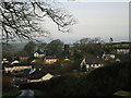
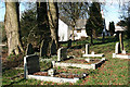
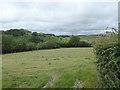
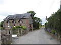
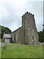
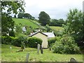
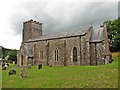
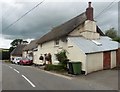
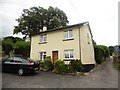
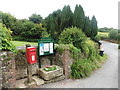
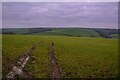
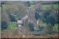
41 photos from this area
Area Information
Key information about the EX36 4NE including its size, population, and administrative classification.
- Area Type
- Postcode
- Area Size
- 87.8 hectares
- Population
- 2558
- Population Density
- 29 people/km²
House Prices in EX36 4NE
27
Properties
£343,625
Average Sold Price
£172,000
Lowest Price
£620,000
Highest Price
Showing 27 properties
| Address | Type | Beds | Baths | Last Sale Price | Last Sale Date | |
|---|---|---|---|---|---|---|
| Sunnyside, Road Past Northdown Farm, Meshaw, EX36 4NE | Detached | 2 | 2 | £338,000 | Sep 2024 | |
| 1, The Villas, Road From Meshaw Rectory Cross To The Barn, Meshaw, EX36 4NE | Semi-detached | 2 | 1 | £245,000 | Dec 2023 | |
| Rosemary Cottage, Road Past South Hill Cottage, Meshaw, EX36 4NE | house | - | - | £395,000 | Jun 2022 | |
| South Hill, Road From Meshaw Rectory Cross To The Barn, Meshaw, EX36 4NE | house | 2 | - | £345,000 | Jan 2022 | |
| The Cottage, Road Past South Hill Cottage, Meshaw, EX36 4NE | Detached | 3 | 1 | £280,000 | Jul 2020 | |
| North Down, Road Past Northdown Farm, Meshaw, EX36 4NE | house | - | - | £620,000 | Dec 2017 | |
| Rose Cottage, Road Past South Hill Cottage, Meshaw, EX36 4NE | Detached | 3 | 1 | £282,000 | Oct 2017 | |
| Springfield, Road Past Northdown Farm, Meshaw, EX36 4NE | house | - | - | £335,000 | Oct 2017 | |
| Amberleigh House, Road From Meshaw Rectory Cross To The Barn, Meshaw, EX36 4NE | house | - | - | £515,000 | Feb 2017 | |
| Pennyghael, Road Past South Hill Cottage, Meshaw, EX36 4NE | Detached | 4 | - | £350,000 | Apr 2014 |
Page 1 of 3
Energy Efficiency in EX36 4NE
Amenities
Schools
| Rank | School | Type | Entry gender | Ages |
|---|
Explore more schools in this area
Go to Schools tabDemographics
Household Size
Two person
most common
Accommodation Type
Houses
most common
Tenure
76
majority
Ethnic Group
White
most common
Religion
N/A
most common
Household Composition
N/A
most common
Age
47
median
Adults (30-64 years)
most common
Household Deprivation
N/A
with no deprivation
NS-SEC
29
in Lower managerial occupations
Explore more demographic insights in this area
Go to Demographics tabPlanning
Planning Constraints
- Flood RiskPremium
- Ramsar Wetland SitesPremium
- Area of Outstanding Natural BeautyPremium
- Protected Nature ReservePremium
- Protected WoodlandPremium