Area Overview for EX36 3BE
Photos of EX36 3BE
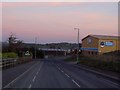
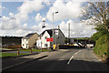
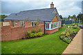
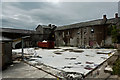
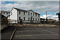
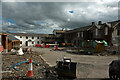
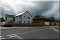
45 photos from this area
Area Information
Key information about the EX36 3BE including its size, population, and administrative classification.
- Area Type
- Postcode
- Area Size
- 4857 m²
- Population
- 2465
- Population Density
- 162 people/km²
House Prices in EX36 3BE
12
Properties
£138,680
Average Sold Price
£64,950
Lowest Price
£194,500
Highest Price
Showing 12 properties
| Address | Type | Beds | Baths | Last Sale Price | Last Sale Date | |
|---|---|---|---|---|---|---|
| 20 Mole Ridge Way, South Molton, EX36 3BE | Semi-detached | 3 | 1 | £194,500 | Jul 2019 | |
| 16 Mole Ridge Way, South Molton, EX36 3BE | Semi-detached | 3 | 2 | £185,000 | May 2017 | |
| 10 Mole Ridge Way, South Molton, EX36 3BE | house | - | - | £160,500 | Jan 2016 | |
| 14 Mole Ridge Way, South Molton, EX36 3BE | Semi-detached | 3 | 1 | £165,000 | Nov 2014 | |
| 2 Mole Ridge Way, South Molton, EX36 3BE | Semi-detached | 3 | - | £169,000 | Apr 2012 | |
| 4 Mole Ridge Way, South Molton, EX36 3BE | house | 3 | - | £168,000 | Mar 2011 | |
| 18 Mole Ridge Way, South Molton, EX36 3BE | Semi-detached | - | - | £89,950 | Dec 2000 | |
| 6 Mole Ridge Way, South Molton, EX36 3BE | Detached | - | - | £94,950 | Oct 2000 | |
| 8 Mole Ridge Way, South Molton, EX36 3BE | house | - | - | £64,950 | Oct 2000 | |
| 12 Mole Ridge Way, South Molton, EX36 3BE | Detached | - | - | £94,950 | Sep 2000 |
Page 1 of 2
Energy Efficiency in EX36 3BE
Amenities
Schools
| Rank | School | Type | Entry gender | Ages |
|---|
Explore more schools in this area
Go to Schools tabDemographics
Household Size
Two person
most common
Accommodation Type
Houses
most common
Tenure
72
majority
Ethnic Group
White
most common
Religion
N/A
most common
Household Composition
N/A
most common
Age
47
median
Adults (30-64 years)
most common
Household Deprivation
N/A
with no deprivation
NS-SEC
29
in Lower managerial occupations
Explore more demographic insights in this area
Go to Demographics tabPlanning
Planning Constraints
- Flood RiskPremium
- Ramsar Wetland SitesPremium
- Area of Outstanding Natural BeautyPremium
- Protected Nature ReservePremium
- Protected WoodlandPremium