Area Overview for EX34 9SU
Photos of EX34 9SU

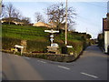
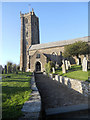
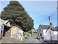
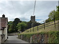
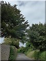
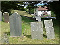
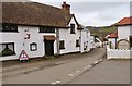
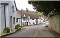
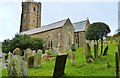


48 photos from this area
Area Information
Key information about the EX34 9SU including its size, population, and administrative classification.
- Area Type
- Postcode
- Area Size
- 43.6 hectares
- Population
- 1403
- Population Density
- 66 people/km²
House Prices in EX34 9SU
54
Properties
£361,897
Average Sold Price
£56,000
Lowest Price
£705,000
Highest Price
Showing 54 properties
| Address | Type | Beds | Baths | Last Sale Price | Last Sale Date | |
|---|---|---|---|---|---|---|
| Berri View, Barton Lane, Berrynarbor, EX34 9SU | Bungalow | 3 | 2 | £557,000 | Jan 2025 | |
| Fair Rising, Barton Lane, Berrynarbor, EX34 9SU | Bungalow | 4 | 3 | £650,000 | Oct 2024 | |
| Derwent House, Barton Lane, Berrynarbor, EX34 9SU | Detached | 5 | 3 | £705,000 | Feb 2024 | |
| Hilarian, Barton Lane, Berrynarbor, EX34 9SU | Bungalow | 4 | 2 | £550,000 | Dec 2023 | |
| Cotswold, Barton Lane, Berrynarbor, EX34 9SU | Bungalow | - | - | £442,000 | Jan 2023 | |
| Brambly Hedge, Barton Lane, Berrynarbor, EX34 9SU | Bungalow | 4 | 2 | £490,000 | Feb 2022 | |
| Sherrards, Barton Lane, Berrynarbor, EX34 9SU | house | - | - | £432,100 | Dec 2020 | |
| Cherry Hinton, Barton Lane, Berrynarbor, EX34 9SU | Bungalow | 1 | 1 | £400,000 | Jun 2020 | |
| Seascape, Barton Lane, Berrynarbor, EX34 9SU | Detached | 4 | 2 | £450,000 | Dec 2019 | |
| The Knapps, Barton Lane, Berrynarbor, EX34 9SU | Bungalow | 2 | 1 | £293,000 | Oct 2019 |
Page 1 of 6
Energy Efficiency in EX34 9SU
Amenities
Schools
| Rank | School | Type | Entry gender | Ages |
|---|
Explore more schools in this area
Go to Schools tabDemographics
Household Size
Two person
most common
Accommodation Type
Houses
most common
Tenure
79
majority
Ethnic Group
White
most common
Religion
N/A
most common
Household Composition
N/A
most common
Age
47
median
Adults (30-64 years)
most common
Household Deprivation
N/A
with no deprivation
NS-SEC
32
in Lower managerial occupations
Explore more demographic insights in this area
Go to Demographics tabPlanning
Planning Constraints
- Flood RiskPremium
- Ramsar Wetland SitesPremium
- Area of Outstanding Natural BeautyPremium
- Protected Nature ReservePremium
- Protected WoodlandPremium