Area Overview for EX34 8DE
Photos of EX34 8DE
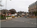
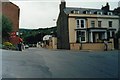
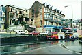
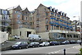
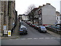
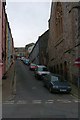
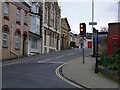
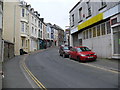
100 photos from this area
Area Information
Key information about the EX34 8DE including its size, population, and administrative classification.
- Area Type
- Postcode
- Area Size
- 8284 m²
- Population
- 1629
- Population Density
- 4371 people/km²
House Prices in EX34 8DE
26
Properties
£169,355
Average Sold Price
£39,500
Lowest Price
£475,000
Highest Price
Showing 26 properties
| Address | Type | Beds | Baths | Last Sale Price | Last Sale Date | |
|---|---|---|---|---|---|---|
| Little Craig, Station Road, Ilfracombe, EX34 8DE | Detached | 4 | 2 | £309,000 | Jan 2025 | |
| Tanglewood, Station Road, Ilfracombe, EX34 8DE | Bungalow | 3 | - | £475,000 | Apr 2023 | |
| Blandings, Station Road, Ilfracombe, EX34 8DE | Flat | - | - | £173,000 | Apr 2019 | |
| Glenshee, Station Road, Ilfracombe, EX34 8DE | Bungalow | 3 | - | £222,000 | Oct 2018 | |
| 10 Station Road, Ilfracombe, EX34 8DE | Terraced | 4 | - | £173,000 | Jan 2015 | |
| Towans, Station Road, Ilfracombe, EX34 8DE | Detached | 4 | - | £149,610 | Mar 2009 | |
| 4 Station Road, Ilfracombe, EX34 8DE | Terraced | - | - | £121,500 | Nov 2007 | |
| 18 Station Road, Ilfracombe, EX34 8DE | Terraced | 2 | 1 | £142,000 | Jul 2007 | |
| 2 Station Road, Ilfracombe, EX34 8DE | Terraced | 3 | 1 | £125,000 | Feb 2007 | |
| Beaconfield, Station Road, Ilfracombe, EX34 8DE | Bungalow | - | - | £187,500 | Jan 2004 |
Page 1 of 3
Energy Efficiency in EX34 8DE
Amenities
Schools
| Rank | School | Type | Entry gender | Ages |
|---|
Explore more schools in this area
Go to Schools tabDemographics
Household Size
Two person
most common
Accommodation Type
Houses
most common
Tenure
66
majority
Ethnic Group
White
most common
Religion
N/A
most common
Household Composition
N/A
most common
Age
47
median
Adults (30-64 years)
most common
Household Deprivation
N/A
with no deprivation
NS-SEC
25
in Lower managerial occupations
Explore more demographic insights in this area
Go to Demographics tabPlanning
Planning Constraints
- Flood RiskPremium
- Ramsar Wetland SitesPremium
- Area of Outstanding Natural BeautyPremium
- Protected Nature ReservePremium
- Protected WoodlandPremium