Area Overview for EX33 2ES
Photos of EX33 2ES
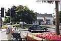
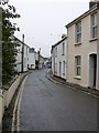
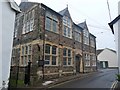
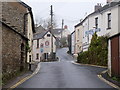
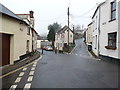
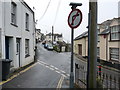
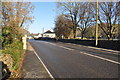
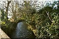
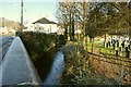
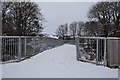
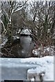

100 photos from this area
Area Information
Key information about the EX33 2ES including its size, population, and administrative classification.
- Area Type
- Postcode
- Area Size
- 2.6 hectares
- Population
- 1442
- Population Density
- 805 people/km²
House Prices in EX33 2ES
33
Properties
£232,645
Average Sold Price
£85,000
Lowest Price
£376,500
Highest Price
Showing 33 properties
| Address | Type | Beds | Baths | Last Sale Price | Last Sale Date | |
|---|---|---|---|---|---|---|
| 2, Butts Cottages, Chaloners Road, Braunton, EX33 2ES | Terraced | 2 | 1 | £250,000 | Sep 2021 | |
| The Beeches, Chaloners Road, Braunton, EX33 2ES | Maisonette | 3 | - | £322,000 | Jun 2021 | |
| RANDALLS, CHALONERS ROAD, Braunton, EX33 2ES | Bungalow | 2 | 1 | £270,000 | Oct 2020 | |
| Sunside Flat, Chaloners Road, Braunton, EX33 2ES | Flat | - | - | £206,308 | Jan 2018 | |
| Tynedale, Chaloners Road, Braunton, EX33 2ES | house | - | - | £258,000 | Jan 2013 | |
| Orchard Dene, Chaloners Road, Braunton, EX33 2ES | house | - | - | £376,500 | Mar 2006 | |
| 5, Butts Cottages, Chaloners Road, Braunton, EX33 2ES | Semi-detached | - | - | £143,500 | Aug 2002 | |
| St Berwyns, Chaloners Road, Braunton, EX33 2ES | Detached | 4 | 3 | £182,500 | Mar 2002 | |
| Woodford, Chaloners Road, Braunton, EX33 2ES | Semi-detached | - | - | £85,000 | Apr 1997 | |
| The Nook, Chaloners Road, Braunton, EX33 2ES | Bungalow | 3 | 1 | - | - |
Page 1 of 4
Energy Efficiency in EX33 2ES
Amenities
Schools
| Rank | School | Type | Entry gender | Ages |
|---|
Explore more schools in this area
Go to Schools tabDemographics
Household Size
One person
most common
Accommodation Type
Houses
most common
Tenure
59
majority
Ethnic Group
White
most common
Religion
N/A
most common
Household Composition
N/A
most common
Age
47
median
Adults (30-64 years)
most common
Household Deprivation
N/A
with no deprivation
NS-SEC
30
in Lower managerial occupations
Explore more demographic insights in this area
Go to Demographics tabPlanning
Planning Constraints
- Flood RiskPremium
- Ramsar Wetland SitesPremium
- Area of Outstanding Natural BeautyPremium
- Protected Nature ReservePremium
- Protected WoodlandPremium