Area Overview for EX32 7NQ
Photos of EX32 7NQ
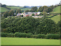
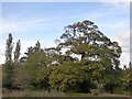
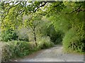
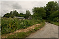
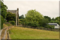
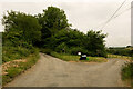
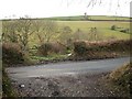
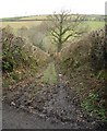
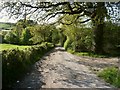
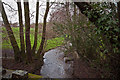
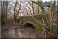
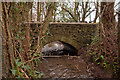
22 photos from this area
Area Information
Key information about the EX32 7NQ including its size, population, and administrative classification.
- Area Type
- Postcode
- Area Size
- 21.7 hectares
- Population
- 2055
- Population Density
- 26 people/km²
House Prices in EX32 7NQ
10
Properties
£584,000
Average Sold Price
£383,000
Lowest Price
£785,000
Highest Price
Showing 10 properties
| Address | Type | Beds | Baths | Last Sale Price | Last Sale Date | |
|---|---|---|---|---|---|---|
| Little Lilly Farm, Road To Lilly Farm, Goodleigh, EX32 7NQ | house | 3 | 2 | £383,000 | May 2019 | |
| GREAT LILLY COTTAGE, GREAT LILLY FARM, ROAD TO LILLY FARM, Goodleigh, EX32 7NQ | Detached | 2 | 2 | £785,000 | Oct 2013 | |
| Lilly Cottage, Road To Lilly Farm, Goodleigh, EX32 7NQ | Bungalow | 2 | 1 | - | - | |
| Great Lilly Farm, Road To Lilly Farm, Goodleigh, EX32 7NQ | Detached | 8 | 4 | - | - | |
| New House, Road To Lilly Farm, Goodleigh, EX32 7NQ | Detached | - | - | - | - | |
| The Owlery, Road To Lilly Farm, Goodleigh, EX32 7NQ | Bungalow | - | - | - | - | |
| Lilly Barn, Great Lilly Farm, Road To Lilly Farm, Goodleigh, EX32 7NQ | house | - | - | - | - | |
| Venford, Road Past Venford, Goodleigh, EX32 7NQ | Detached | - | - | - | - | |
| East Barn, Road To Lilly Farm, Goodleigh, EX32 7NQ | Terraced | - | - | - | - | |
| Silver Spring, Road To Lilly Farm, Goodleigh, EX32 7NQ | Detached | - | - | - | - |
Energy Efficiency in EX32 7NQ
Amenities
Schools
| Rank | School | Type | Entry gender | Ages |
|---|
Explore more schools in this area
Go to Schools tabDemographics
Household Size
Two person
most common
Accommodation Type
Houses
most common
Tenure
74
majority
Ethnic Group
White
most common
Religion
N/A
most common
Household Composition
N/A
most common
Age
47
median
Adults (30-64 years)
most common
Household Deprivation
N/A
with no deprivation
NS-SEC
32
in Lower managerial occupations
Explore more demographic insights in this area
Go to Demographics tabPlanning
Planning Constraints
- Flood RiskPremium
- Ramsar Wetland SitesPremium
- Area of Outstanding Natural BeautyPremium
- Protected Nature ReservePremium
- Protected WoodlandPremium