Area Overview for EX31 3ER
Photos of EX31 3ER
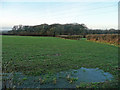
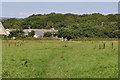
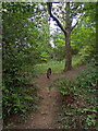
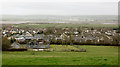
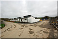
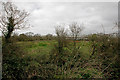
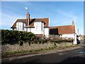
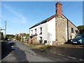
31 photos from this area
Area Information
Key information about the EX31 3ER including its size, population, and administrative classification.
- Area Type
- Postcode
- Area Size
- 4797 m²
- Population
- 1337
- Population Density
- 462 people/km²
House Prices in EX31 3ER
10
Properties
£143,989
Average Sold Price
£45,500
Lowest Price
£264,000
Highest Price
Showing 10 properties
| Address | Type | Beds | Baths | Last Sale Price | Last Sale Date | |
|---|---|---|---|---|---|---|
| 2 Ballards Way, Yelland, EX31 3ER | house | - | - | £264,000 | Jan 2017 | |
| 11 Ballards Way, Yelland, EX31 3ER | house | 3 | - | £200,000 | Mar 2013 | |
| 7 Ballards Way, Yelland, EX31 3ER | Semi-detached | - | - | £175,000 | May 2009 | |
| 13 Ballards Way, Yelland, EX31 3ER | house | 3 | - | £249,950 | May 2007 | |
| 12 Ballards Way, Yelland, EX31 3ER | house | - | - | £188,000 | Apr 2004 | |
| 8 Ballards Way, Yelland, EX31 3ER | Terraced | - | - | £60,000 | Oct 1997 | |
| 6 Ballards Way, Yelland, EX31 3ER | Semi-detached | 3 | 1 | £64,950 | Mar 1997 | |
| 10 Ballards Way, Yelland, EX31 3ER | house | - | - | £45,500 | Dec 1996 | |
| 9 Ballards Way, Yelland, EX31 3ER | Terraced | - | - | £48,500 | Oct 1995 | |
| 1 Ballards Way, Yelland, EX31 3ER | Semi-detached | - | - | - | - |
Energy Efficiency in EX31 3ER
Amenities
Schools
| Rank | School | Type | Entry gender | Ages |
|---|
Explore more schools in this area
Go to Schools tabDemographics
Household Size
Two person
most common
Accommodation Type
Houses
most common
Tenure
91
majority
Ethnic Group
White
most common
Religion
N/A
most common
Household Composition
N/A
most common
Age
47
median
Elderly (65+ years)
most common
Household Deprivation
N/A
with no deprivation
NS-SEC
35
in Lower managerial occupations
Explore more demographic insights in this area
Go to Demographics tabPlanning
Planning Constraints
- Flood RiskPremium
- Ramsar Wetland SitesPremium
- Area of Outstanding Natural BeautyPremium
- Protected Nature ReservePremium
- Protected WoodlandPremium