Area Overview for EX31 1TD
Photos of EX31 1TD
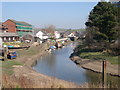
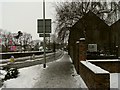
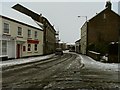
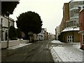
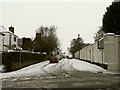
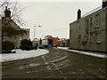
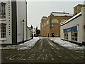
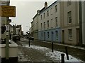
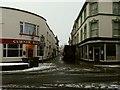
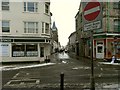
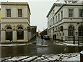
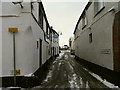
100 photos from this area
Area Information
Key information about the EX31 1TD including its size, population, and administrative classification.
- Area Type
- Postcode
- Area Size
- 8341 m²
- Population
- 1684
- Population Density
- 4182 people/km²
House Prices in EX31 1TD
43
Properties
£90,333
Average Sold Price
£55,000
Lowest Price
£140,000
Highest Price
Showing 43 properties
| Address | Type | Beds | Baths | Last Sale Price | Last Sale Date | |
|---|---|---|---|---|---|---|
| 122 Boutport Street, Barnstaple, EX31 1TD | Terraced | 2 | - | £76,000 | Jan 2015 | |
| 124 Boutport Street, Barnstaple, EX31 1TD | house | - | - | £140,000 | Mar 2002 | |
| 127 Boutport Street, Barnstaple, EX31 1TD | Retail | - | - | £55,000 | Aug 1997 | |
| First Floor Flat, 123 Boutport Street, Barnstaple, EX31 1TD | Flat | 4 | 2 | - | - | |
| Flat 1, Red Brick House, 117 Boutport Street, Barnstaple, EX31 1TD | Flat | - | - | - | - | |
| Flat 1, 132 Boutport Street, Barnstaple, EX31 1TD | Land | - | - | - | - | |
| Flat, 115 Boutport Street, Barnstaple, EX31 1TD | undefined | - | - | - | - | |
| 112 Boutport Street, Barnstaple, EX31 1TD | house | - | - | - | - | |
| 128 Boutport Street, Barnstaple, EX31 1TD | Flat | - | - | - | - | |
| 129A Boutport Street, Barnstaple, EX31 1TD | undefined | - | - | - | - |
Page 1 of 5
Energy Efficiency in EX31 1TD
Amenities
Schools
| Rank | School | Type | Entry gender | Ages |
|---|
Explore more schools in this area
Go to Schools tabDemographics
Household Size
One person
most common
Accommodation Type
Flats
most common
Tenure
23
majority
Ethnic Group
White
most common
Religion
N/A
most common
Household Composition
N/A
most common
Age
47
median
Adults (30-64 years)
most common
Household Deprivation
N/A
with no deprivation
NS-SEC
21
in Lower managerial occupations
Explore more demographic insights in this area
Go to Demographics tabPlanning
Planning Constraints
- Flood RiskPremium
- Ramsar Wetland SitesPremium
- Area of Outstanding Natural BeautyPremium
- Protected Nature ReservePremium
- Protected WoodlandPremium