Area Overview for EX3 0HU
Photos of EX3 0HU
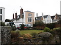
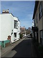
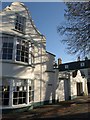
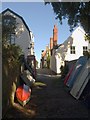
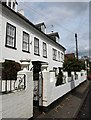
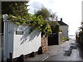
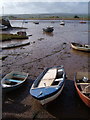
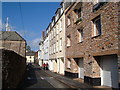
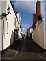
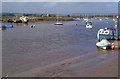
100 photos from this area
Area Information
Key information about the EX3 0HU including its size, population, and administrative classification.
- Area Type
- Postcode
- Area Size
- 762 m²
- Population
- 1007
- Population Density
- 1470 people/km²
House Prices in EX3 0HU
7
Properties
£102,000
Average Sold Price
£90,000
Lowest Price
£114,000
Highest Price
Showing 7 properties
| Address | Type | Beds | Baths | Last Sale Price | Last Sale Date | |
|---|---|---|---|---|---|---|
| 40A Fore Street, Topsham, EX3 0HU | Flat | - | - | £114,000 | Nov 2013 | |
| 42A Fore Street, Topsham, EX3 0HU | Flat | - | - | £90,000 | Apr 1996 | |
| 2, Raleigh Hall, Fore Street, Topsham, EX3 0HU | Flat | - | - | - | - | |
| The Gallery, The Galley Restaurant, 41 Fore Street, Topsham, EX3 0HU | Retail | - | - | - | - | |
| The Flat, 41 Fore Street, Topsham, EX3 0HU | Flat | - | - | - | - | |
| 1, Raleigh Hall, Fore Street, Topsham, EX3 0HU | Flat | 1 | 1 | - | - | |
| 42 Fore Street, Topsham, EX3 0HU | office_workshop | - | - | - | - |
Energy Efficiency in EX3 0HU
Amenities
Schools
| Rank | School | Type | Entry gender | Ages |
|---|
Explore more schools in this area
Go to Schools tabDemographics
Household Size
One person
most common
Accommodation Type
Houses
most common
Tenure
72
majority
Ethnic Group
White
most common
Religion
N/A
most common
Household Composition
N/A
most common
Age
47
median
Elderly (65+ years)
most common
Household Deprivation
N/A
with no deprivation
NS-SEC
52
in Lower managerial occupations
Explore more demographic insights in this area
Go to Demographics tabPlanning
Planning Constraints
- Flood RiskPremium
- Ramsar Wetland SitesPremium
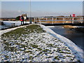
- Area of Outstanding Natural BeautyPremium
- Protected Nature ReservePremium
- Protected WoodlandPremium