Area Overview for EX24 6JY
Photos of EX24 6JY
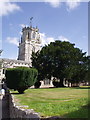
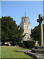
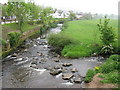
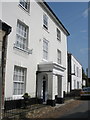
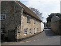
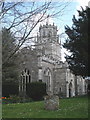
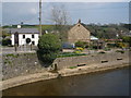
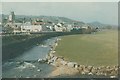
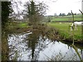
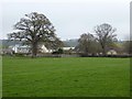
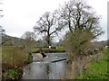
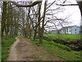
100 photos from this area
Area Information
Key information about the EX24 6JY including its size, population, and administrative classification.
- Area Type
- Postcode
- Area Size
- 4537 m²
- Population
- 1442
- Population Density
- 2987 people/km²
House Prices in EX24 6JY
14
Properties
£214,400
Average Sold Price
£185,000
Lowest Price
£253,000
Highest Price
Showing 14 properties
| Address | Type | Beds | Baths | Last Sale Price | Last Sale Date | |
|---|---|---|---|---|---|---|
| The Cottage, Church Street, Colyton, EX24 6JY | house | 2 | 1 | £253,000 | Jul 2018 | |
| The Old Post House, Church Street, Colyton, EX24 6JY | Flat | - | - | £209,000 | Apr 2015 | |
| Flint Cottage, Church Street, Colyton, EX24 6JY | Semi-detached | 3 | 1 | £240,000 | Feb 2014 | |
| 2 Church Street, Colyton, EX24 6JY | Semi-detached | - | - | £185,000 | Oct 2002 | |
| Grafton House, Church Street, Colyton, EX24 6JY | Detached | - | - | £185,000 | Jul 2002 | |
| St Marys, Church Street, Colyton, EX24 6JY | Terraced | 4 | 1 | - | - | |
| Minton House, Church Street, Colyton, EX24 6JY | house | - | - | - | - | |
| Gwithian, Church Street, Colyton, EX24 6JY | house | - | - | - | - | |
| Appledore, Church Street, Colyton, EX24 6JY | Terraced | - | - | - | - | |
| Lauriston, Church Street, Colyton, EX24 6JY | Terraced | - | - | - | - |
Page 1 of 2
Energy Efficiency in EX24 6JY
Amenities
Schools
| Rank | School | Type | Entry gender | Ages |
|---|
Explore more schools in this area
Go to Schools tabDemographics
Household Size
Two person
most common
Accommodation Type
Houses
most common
Tenure
64
majority
Ethnic Group
White
most common
Religion
N/A
most common
Household Composition
N/A
most common
Age
47
median
Adults (30-64 years)
most common
Household Deprivation
N/A
with no deprivation
NS-SEC
30
in Lower managerial occupations
Explore more demographic insights in this area
Go to Demographics tabPlanning
Planning Constraints
- Flood RiskPremium
- Ramsar Wetland SitesPremium
- Area of Outstanding Natural BeautyPremium
- Protected Nature ReservePremium
- Protected WoodlandPremium