Area Overview for EX2 9PL
Photos of EX2 9PL
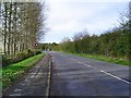
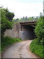
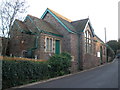
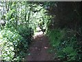
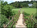
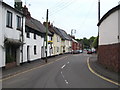
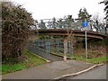

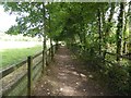
76 photos from this area
Area Information
Key information about the EX2 9PL including its size, population, and administrative classification.
- Area Type
- Postcode
- Area Size
- 6.8 hectares
- Population
- 1475
- Population Density
- 1375 people/km²
House Prices in EX2 9PL
17
Properties
£374,541
Average Sold Price
£124,500
Lowest Price
£650,000
Highest Price
Showing 17 properties
| Address | Type | Beds | Baths | Last Sale Price | Last Sale Date | |
|---|---|---|---|---|---|---|
| Beethwaite, Little Johns Cross Hill, Exeter, EX2 9PL | house | 4 | 1 | £555,000 | Jul 2025 | |
| Ewhurst, Little Johns Cross Hill, Exeter, EX2 9PL | Bungalow | 4 | 3 | £590,000 | Oct 2019 | |
| Monterey, Little Johns Cross Hill, Exeter, EX2 9PL | Detached | 4 | 2 | £650,000 | May 2018 | |
| Hazelwood, Little Johns Cross Hill, Exeter, EX2 9PL | house | - | - | £335,000 | Feb 2016 | |
| Inverewe, Little Johns Cross Hill, Exeter, EX2 9PL | Bungalow | - | - | £390,000 | Sep 2014 | |
| Lower Acre, Little Johns Cross Hill, Exeter, EX2 9PL | Detached | - | - | £491,000 | Apr 2007 | |
| Quillets, Little Johns Cross Hill, Exeter, EX2 9PL | Detached | - | - | £310,000 | Oct 2002 | |
| Hillside, Little Johns Cross Hill, Exeter, EX2 9PL | Bungalow | 4 | - | £277,500 | Jun 2002 | |
| Hopesay, Little Johns Cross Hill, Exeter, EX2 9PL | Detached | - | - | £154,950 | Aug 2001 | |
| Underwood Lodge, Little Johns Cross Hill, Exeter, EX2 9PL | Bungalow | - | - | £242,000 | Aug 1998 |
Page 1 of 2
Energy Efficiency in EX2 9PL
Amenities
Schools
| Rank | School | Type | Entry gender | Ages |
|---|
Explore more schools in this area
Go to Schools tabDemographics
Household Size
Two person
most common
Accommodation Type
Houses
most common
Tenure
85
majority
Ethnic Group
White
most common
Religion
N/A
most common
Household Composition
N/A
most common
Age
47
median
Adults (30-64 years)
most common
Household Deprivation
N/A
with no deprivation
NS-SEC
36
in Lower managerial occupations
Explore more demographic insights in this area
Go to Demographics tabPlanning
Planning Constraints
- Flood RiskPremium
- Ramsar Wetland SitesPremium
- Area of Outstanding Natural BeautyPremium
- Protected Nature ReservePremium
- Protected WoodlandPremium