Area Overview for EX2 9HS
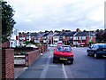
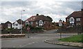
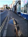
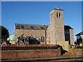
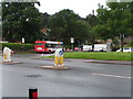
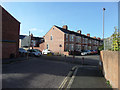
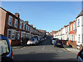
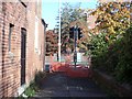
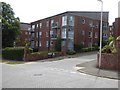
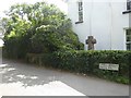
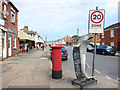
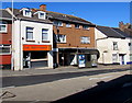
Photos of EX2 9HS
Area Information
Living in EX2 9HS means inhabiting a tightly packed residential cluster in England, where 1,471 people reside across 3,658 square metres. This density creates a compact, intimate community feel, with homes closely grouped and services within easy reach. The area’s population density of 402,172 people per square kilometre reflects its small-scale, residential character, ideal for those seeking proximity to amenities without urban sprawl. The median age of 47 suggests a mature demographic, with most residents aged between 30 and 64, indicating a stable, established community. Home ownership is high at 81%, with houses the predominant accommodation type. This mix of older residents and family homes fosters a quiet, settled environment. Daily life here is shaped by nearby retail, transport links, and natural access points, making it practical for commuters and those valuing convenience. The area’s low flood risk and crime score of 93/100 further enhance its appeal as a safe, secure place to live.
- Area Type
- Postcode
- Area Size
- 3658 m²
- Population
- 1471
- Population Density
- 5863 people/km²
The property market in EX2 9HS is dominated by owner-occupied homes, with 81% of residents living in their own properties. Houses, rather than flats or apartments, are the primary accommodation type, suggesting a focus on family homes and traditional housing stock. This high home ownership rate indicates a stable, long-term community with limited rental activity. The area’s small size means the housing stock is finite, making it a niche market for buyers seeking established properties. Proximity to transport links, including multiple railway stations and an airport, may enhance property value by catering to commuters. However, the compact nature of the area means buyers should consider the limited availability of new builds or larger homes. The predominance of houses also implies a preference for private, low-density living, which aligns with the area’s mature demographic.
House Prices in EX2 9HS
No properties found in this postcode.
Energy Efficiency in EX2 9HS
Residents of EX2 9HS have access to a range of essential amenities within practical reach. Retail options include Morrisons Daily, Tesco Exeter, and Co-op Exeter, ensuring daily shopping needs are met. The area’s proximity to multiple railway stations—Exeter St Thomas, St Davids, and Central—offers easy access to urban centres, while Exeter International Airport provides regional and international connectivity. For water-based travel, ferry landings at Topsham Lock, Topsham, and Turf Lock Inn provide links to local river routes. The compact layout of the area means these services are within walking or short driving distance, enhancing convenience. This mix of retail, transport, and natural access points creates a lifestyle that balances practicality with ease of movement, ideal for families and commuters.
Amenities
Schools
| Rank | School | Type | Entry gender | Ages |
|---|
Explore more schools in this area
Go to Schools tabDemographics
EX2 9HS has a median age of 47, with the majority of residents falling within the 30-64 age range. This suggests a community of working-age adults and families, contributing to a stable, mature demographic. Home ownership is strong at 81%, with houses the primary accommodation type, indicating a focus on long-term residency rather than rental properties. The predominant ethnic group is White, reflecting the area’s homogenous character. The population density of 402,172 people per square kilometre, while high, is typical for a small residential cluster, ensuring proximity to services without overcrowding. This density supports a walkable lifestyle, with amenities within practical reach. The absence of specific data on deprivation means the quality of life is inferred from safety scores and infrastructure, which appear robust.
Household Size
Accommodation Type
Tenure
Ethnic Group
Religion
Household Composition
Age
Household Deprivation
NS-SEC
Explore more demographic insights in this area
Go to Demographics tabPlanning
Planning Constraints
- Flood RiskPremium
- Ramsar Wetland SitesPremium
- Area of Outstanding Natural BeautyPremium
- Protected Nature ReservePremium
- Protected WoodlandPremium