Area Overview for EX19 8SY
Photos of EX19 8SY
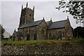
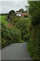
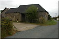
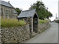
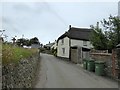
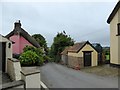
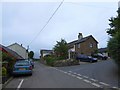
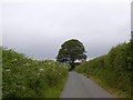
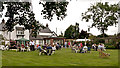
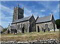
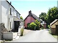
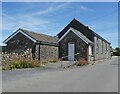
20 photos from this area
Area Information
Key information about the EX19 8SY including its size, population, and administrative classification.
- Area Type
- Postcode
- Area Size
- 6201 m²
- Population
- 1719
- Population Density
- 36 people/km²
House Prices in EX19 8SY
6
Properties
£473,000
Average Sold Price
£246,000
Lowest Price
£700,000
Highest Price
Showing 6 properties
| Address | Type | Beds | Baths | Last Sale Price | Last Sale Date | |
|---|---|---|---|---|---|---|
| Newcombes Farm, Road From Newcombes Farm To Parkyns Cross, Roborough, EX19 8SY | house | 4 | 2 | £700,000 | Apr 2022 | |
| South View, Road From Ten Oaks Farm To Newcombes Farm, Roborough, EX19 8SY | house | - | - | £246,000 | Mar 2021 | |
| The New Inn, Road From Ebberly Hill Cross To Newcombes Farm, Roborough, EX19 8SY | restaurant_cafe | - | - | - | - | |
| Hillside, Road From Newcombes Farm To Parkyns Cross, Roborough, EX19 8SY | Land | - | - | - | - | |
| Thornes Farm, Road From Ten Oaks Farm To Newcombes Farm, Roborough, EX19 8SY | house | - | - | - | - | |
| Flat, The New Inn, Road From Ebberly Hill Cross To Newcombes Farm, Roborough, EX19 8SY | Flat | - | - | - | - |
Energy Efficiency in EX19 8SY
Amenities
Schools
| Rank | School | Type | Entry gender | Ages |
|---|
Explore more schools in this area
Go to Schools tabDemographics
Household Size
Two person
most common
Accommodation Type
Houses
most common
Tenure
82
majority
Ethnic Group
White
most common
Religion
N/A
most common
Household Composition
N/A
most common
Age
47
median
Adults (30-64 years)
most common
Household Deprivation
N/A
with no deprivation
NS-SEC
32
in Lower managerial occupations
Explore more demographic insights in this area
Go to Demographics tabPlanning
Planning Constraints
- Flood RiskPremium
- Ramsar Wetland SitesPremium
- Area of Outstanding Natural BeautyPremium
- Protected Nature ReservePremium
- Protected WoodlandPremium