Area Overview for EX19 8QU
Photos of EX19 8QU
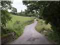
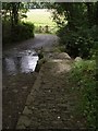
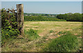
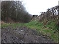
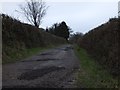
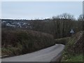
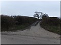
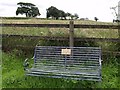
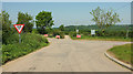
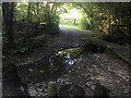
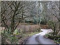
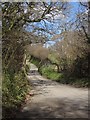
13 photos from this area
Area Information
Key information about the EX19 8QU including its size, population, and administrative classification.
- Area Type
- Postcode
- Area Size
- 54.6 hectares
- Population
- 1719
- Population Density
- 36 people/km²
House Prices in EX19 8QU
35
Properties
£280,133
Average Sold Price
£43,000
Lowest Price
£530,000
Highest Price
Showing 35 properties
| Address | Type | Beds | Baths | Last Sale Price | Last Sale Date | |
|---|---|---|---|---|---|---|
| Ryhope, West Lane, Dolton, EX19 8QU | Bungalow | 3 | 2 | £400,000 | Feb 2025 | |
| Penny Farthing, West Lane, Dolton, EX19 8QU | Bungalow | 3 | 2 | £470,000 | Jun 2024 | |
| 2, Thornes Cottages, West Lane, Dolton, EX19 8QU | Semi-detached | 4 | 3 | £435,000 | Sep 2023 | |
| Muffins, West Lane, Dolton, EX19 8QU | Bungalow | 3 | 1 | £375,000 | Sep 2023 | |
| Little Wendens, West Lane, Dolton, EX19 8QU | Bungalow | 2 | 1 | £350,000 | Feb 2022 | |
| Silverlining, West Lane, Dolton, EX19 8QU | Detached | 4 | 2 | £220,000 | Sep 2021 | |
| West View, West Lane, Dolton, EX19 8QU | Bungalow | - | - | £395,000 | Jul 2021 | |
| Fountain Cottage, West Lane, Dolton, EX19 8QU | Semi-detached | 2 | 1 | £150,000 | Feb 2021 | |
| Fairview, West Lane, Dolton, EX19 8QU | Semi-detached | 2 | 1 | £155,000 | Aug 2020 | |
| Jocey, West Lane, Dolton, EX19 8QU | Bungalow | - | - | £262,000 | Jul 2020 |
Page 1 of 4
Energy Efficiency in EX19 8QU
Amenities
Schools
| Rank | School | Type | Entry gender | Ages |
|---|
Explore more schools in this area
Go to Schools tabDemographics
Household Size
Two person
most common
Accommodation Type
Houses
most common
Tenure
82
majority
Ethnic Group
White
most common
Religion
N/A
most common
Household Composition
N/A
most common
Age
47
median
Adults (30-64 years)
most common
Household Deprivation
N/A
with no deprivation
NS-SEC
32
in Lower managerial occupations
Explore more demographic insights in this area
Go to Demographics tabPlanning
Planning Constraints
- Flood RiskPremium
- Ramsar Wetland SitesPremium
- Area of Outstanding Natural BeautyPremium
- Protected Nature ReservePremium
- Protected WoodlandPremium