Area Overview for EX16 8AH
Photos of EX16 8AH
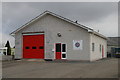
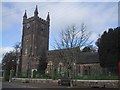
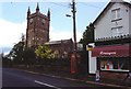
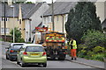
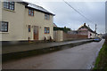
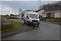
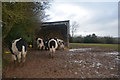
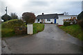
76 photos from this area
Area Information
Key information about the EX16 8AH including its size, population, and administrative classification.
- Area Type
- Postcode
- Area Size
- 4.8 hectares
- Population
- 2558
- Population Density
- 29 people/km²
House Prices in EX16 8AH
45
Properties
£228,622
Average Sold Price
£103,000
Lowest Price
£350,000
Highest Price
Showing 45 properties
| Address | Type | Beds | Baths | Last Sale Price | Last Sale Date | |
|---|---|---|---|---|---|---|
| 26 Fore Street, Witheridge, EX16 8AH | Semi-detached | 2 | 1 | £243,000 | Apr 2023 | |
| 30 Fore Street, Witheridge, EX16 8AH | Terraced | 2 | 1 | £210,450 | Jul 2022 | |
| 5 Fore Street, Witheridge, EX16 8AH | Terraced | 4 | 2 | £312,500 | Mar 2022 | |
| 15 Fore Street, Witheridge, EX16 8AH | Detached | 3 | - | £325,000 | Jun 2021 | |
| 21 Fore Street, Witheridge, EX16 8AH | house | - | - | £103,000 | Jun 2019 | |
| 1 Fore Street, Witheridge, EX16 8AH | Terraced | 3 | - | £270,000 | Feb 2019 | |
| 7 Fore Street, Witheridge, EX16 8AH | Terraced | 3 | - | £185,000 | Nov 2016 | |
| Anstey House, Fore Street, Witheridge, EX16 8AH | house | - | - | £350,000 | Aug 2016 | |
| 25 Fore Street, Witheridge, EX16 8AH | house | 5 | - | £350,000 | Feb 2016 | |
| 3 Fore Street, Witheridge, EX16 8AH | Terraced | - | - | £320,000 | Feb 2016 |
Page 1 of 5
Energy Efficiency in EX16 8AH
Amenities
Schools
| Rank | School | Type | Entry gender | Ages |
|---|
Explore more schools in this area
Go to Schools tabDemographics
Household Size
Two person
most common
Accommodation Type
Houses
most common
Tenure
76
majority
Ethnic Group
White
most common
Religion
N/A
most common
Household Composition
N/A
most common
Age
47
median
Adults (30-64 years)
most common
Household Deprivation
N/A
with no deprivation
NS-SEC
29
in Lower managerial occupations
Explore more demographic insights in this area
Go to Demographics tabPlanning
Planning Constraints
- Flood RiskPremium
- Ramsar Wetland SitesPremium
- Area of Outstanding Natural BeautyPremium
- Protected Nature ReservePremium
- Protected WoodlandPremium