Area Overview for EX15 3DN
Photos of EX15 3DN
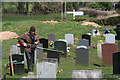
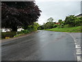
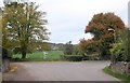
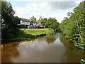
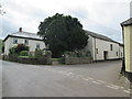
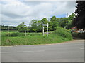
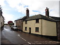
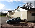
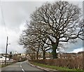
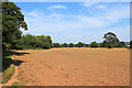
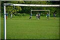
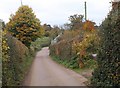
30 photos from this area
Area Information
Key information about the EX15 3DN including its size, population, and administrative classification.
- Area Type
- Postcode
- Area Size
- 30.9 hectares
- Population
- 2455
- Population Density
- 221 people/km²
House Prices in EX15 3DN
17
Properties
£319,556
Average Sold Price
£36,000
Lowest Price
£720,000
Highest Price
Showing 17 properties
| Address | Type | Beds | Baths | Last Sale Price | Last Sale Date | |
|---|---|---|---|---|---|---|
| 2, Three Elms, Road From Three Elms To Oak View, Uffculme, EX15 3DN | Terraced | 2 | 1 | £165,500 | Oct 2024 | |
| Dairy Cottage, Road From Three Elms To Oak View, Uffculme, EX15 3DN | house | 5 | 3 | £720,000 | Aug 2024 | |
| Oakford, Access Road For Halsland, Uffculme, EX15 3DN | Detached | 4 | 1 | £550,000 | Aug 2018 | |
| Silverlands Farm, Road From Three Elms To Oak View, Uffculme, EX15 3DN | house | - | - | £36,000 | Oct 2017 | |
| Elderberry Barn, Road From Three Elms To Oak View, Uffculme, EX15 3DN | Bungalow | 3 | 2 | £430,000 | Apr 2011 | |
| 1, Three Elms, Road From Three Elms To Oak View, Uffculme, EX15 3DN | house | - | - | £179,950 | Apr 2006 | |
| Park View, Road From Three Elms To Oak View, Uffculme, EX15 3DN | Detached | - | - | £350,000 | Apr 2004 | |
| Corks Farm, Access Road For Halsland, Uffculme, EX15 3DN | Detached | - | - | £125,000 | Jun 1997 | |
| 4, Three Elms, Road From Cemetery Corner Cross To Twenty Acres Cross, Uffculme, EX15 3DN | Terraced | 3 | 1 | - | - | |
| 3, Three Elms, Road From Cemetery Corner Cross To Twenty Acres Cross, Uffculme, EX15 3DN | Cottage | 2 | - | - | - |
Page 1 of 2
Energy Efficiency in EX15 3DN
Amenities
Schools
| Rank | School | Type | Entry gender | Ages |
|---|
Explore more schools in this area
Go to Schools tabDemographics
Household Size
Two person
most common
Accommodation Type
Houses
most common
Tenure
67
majority
Ethnic Group
White
most common
Religion
N/A
most common
Household Composition
N/A
most common
Age
47
median
Adults (30-64 years)
most common
Household Deprivation
N/A
with no deprivation
NS-SEC
34
in Lower managerial occupations
Explore more demographic insights in this area
Go to Demographics tabPlanning
Planning Constraints
- Flood RiskPremium
- Ramsar Wetland SitesPremium
- Area of Outstanding Natural BeautyPremium
- Protected Nature ReservePremium
- Protected WoodlandPremium