Area Overview for EX15 2NH
Photos of EX15 2NH
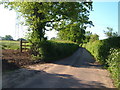
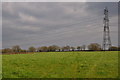
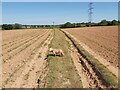
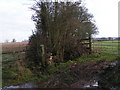
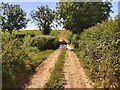
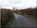

11 photos from this area
Area Information
Key information about the EX15 2NH including its size, population, and administrative classification.
- Area Type
- Postcode
- Area Size
- 1.5 km²
- Population
- 1694
- Population Density
- 41 people/km²
House Prices in EX15 2NH
16
Properties
£266,667
Average Sold Price
£45,000
Lowest Price
£520,000
Highest Price
Showing 16 properties
| Address | Type | Beds | Baths | Last Sale Price | Last Sale Date | |
|---|---|---|---|---|---|---|
| Moores Cottage, Road Past Courtneys Farm, Clyst Hydon, EX15 2NH | house | 4 | 2 | £520,000 | Mar 2022 | |
| The Tallet, Road Past Courtneys Farm, Clyst Hydon, EX15 2NH | house | - | - | £235,000 | Apr 2021 | |
| Broad Acre, Road Past Courtneys Farm, Clyst Hydon, EX15 2NH | Bungalow | - | - | £45,000 | Jul 1995 | |
| Broadlands, Road Past Courtneys Farm, Clyst Hydon, EX15 2NH | Land | 6 | 5 | - | - | |
| Home Park View, Road Past Courtneys Farm, Clyst Hydon, EX15 2NH | Detached | - | - | - | - | |
| Wind Pump, Road Past Courtneys Farm, Clyst Hydon, EX15 2NH | Industrial | - | - | - | - | |
| Auncke Meadow, Road Past Courtneys Farm, Clyst Hydon, EX15 2NH | Bungalow | - | - | - | - | |
| Croft Cottage, Road Past Courtneys Farm, Clyst Hydon, EX15 2NH | Detached | - | - | - | - | |
| Courtneys Farm, Road Past Courtneys Farm, Clyst Hydon, EX15 2NH | Detached | - | - | - | - | |
| Broadoak, Road Past Courtneys Farm, Clyst Hydon, EX15 2NH | Detached | - | - | - | - |
Page 1 of 2
Energy Efficiency in EX15 2NH
Amenities
Schools
| Rank | School | Type | Entry gender | Ages |
|---|
Explore more schools in this area
Go to Schools tabDemographics
Household Size
Two person
most common
Accommodation Type
Houses
most common
Tenure
63
majority
Ethnic Group
White
most common
Religion
N/A
most common
Household Composition
N/A
most common
Age
47
median
Adults (30-64 years)
most common
Household Deprivation
N/A
with no deprivation
NS-SEC
39
in Lower managerial occupations
Explore more demographic insights in this area
Go to Demographics tabPlanning
Planning Constraints
- Flood RiskPremium
- Ramsar Wetland SitesPremium
- Area of Outstanding Natural BeautyPremium
- Protected Nature ReservePremium
- Protected WoodlandPremium