Area Overview for EX15 1PR
Photos of EX15 1PR
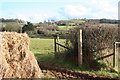
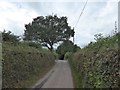
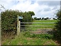
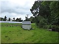
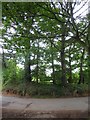
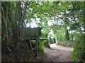
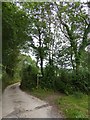
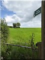
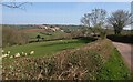
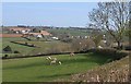
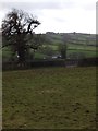
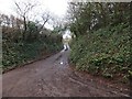
27 photos from this area
Area Information
Key information about the EX15 1PR including its size, population, and administrative classification.
- Area Type
- Postcode
- Area Size
- 47.3 hectares
- Population
- 2954
- Population Density
- 48 people/km²
House Prices in EX15 1PR
7
Properties
£684,000
Average Sold Price
£684,000
Lowest Price
£684,000
Highest Price
Showing 7 properties
| Address | Type | Beds | Baths | Last Sale Price | Last Sale Date | |
|---|---|---|---|---|---|---|
| Birchenoak Cottage, Road From Birchen Oak Farm To Forges Cross, Cullompton, EX15 1PR | house | - | - | £684,000 | Nov 2021 | |
| Offshute, Lane To Shutelake, Butterleigh, EX15 1PR | Bungalow | 4 | 1 | - | - | |
| Birchen Oak, Road From East Butterleigh Cross To Halsewood Gate, Butterleigh, EX15 1PR | Detached | 4 | - | - | - | |
| Shutelake Studios, Lane To Shutelake, Butterleigh, EX15 1PR | undefined | - | - | - | - | |
| Shutelake, Lane To Shutelake, Butterleigh, EX15 1PR | Detached | - | - | - | - | |
| Crosswinds, Lane To Shutelake, Butterleigh, EX15 1PR | Mobile Home | - | - | - | - | |
| Barn At Grid Reference 297841 107476 (shutelake Farm), Lane To Shutelake, Butterleigh, EX15 1PR | Farm | - | - | - | - |
Energy Efficiency in EX15 1PR
Amenities
Schools
| Rank | School | Type | Entry gender | Ages |
|---|
Explore more schools in this area
Go to Schools tabDemographics
Household Size
Two person
most common
Accommodation Type
Houses
most common
Tenure
75
majority
Ethnic Group
White
most common
Religion
N/A
most common
Household Composition
N/A
most common
Age
47
median
Adults (30-64 years)
most common
Household Deprivation
N/A
with no deprivation
NS-SEC
39
in Lower managerial occupations
Explore more demographic insights in this area
Go to Demographics tabPlanning
Planning Constraints
- Flood RiskPremium
- Ramsar Wetland SitesPremium
- Area of Outstanding Natural BeautyPremium
- Protected Nature ReservePremium
- Protected WoodlandPremium