Area Overview for EX13 7NJ
Photos of EX13 7NJ
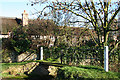

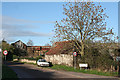
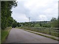
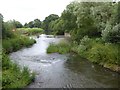
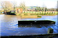
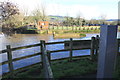
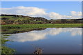


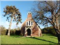
32 photos from this area
Area Information
Key information about the EX13 7NJ including its size, population, and administrative classification.
- Area Type
- Postcode
- Area Size
- 1.2 hectares
- Population
- 1180
- Population Density
- 78 people/km²
House Prices in EX13 7NJ
12
Properties
£429,056
Average Sold Price
£249,950
Lowest Price
£850,000
Highest Price
Showing 12 properties
| Address | Type | Beds | Baths | Last Sale Price | Last Sale Date | |
|---|---|---|---|---|---|---|
| The Grange, Hampton Court, Whitford, EX13 7NJ | Detached | 4 | 3 | £850,000 | Apr 2022 | |
| Cutters Yard, Hampton Court, Whitford, EX13 7NJ | Detached | 4 | 3 | £550,000 | Oct 2020 | |
| Cumberland House, Hampton Court, Whitford, EX13 7NJ | Semi-detached | 4 | - | £417,500 | Jul 2017 | |
| Tamworth Barn, Hampton Court, Whitford, EX13 7NJ | house | 3 | 2 | £350,000 | Aug 2011 | |
| Lacombe Place, Hampton Court, Whitford, EX13 7NJ | Detached | - | - | £365,000 | May 2008 | |
| Curly Coat Cottage, Hampton Court, Whitford, EX13 7NJ | Semi-detached | 4 | 1 | £325,000 | Aug 2004 | |
| Saddleback Cottage, Hampton Court, Whitford, EX13 7NJ | Semi-detached | 4 | 2 | £249,950 | Aug 2002 | |
| Berkshire House, Hampton Court, Whitford, EX13 7NJ | Detached | 5 | 3 | £325,000 | Jun 2002 | |
| Hampshire House, Hampton Court, Whitford, EX13 7NJ | Detached | 3 | 2 | - | - | |
| The Granary, Hampton Court, Whitford, EX13 7NJ | Semi-detached | 2 | 2 | - | - |
Page 1 of 2
Energy Efficiency in EX13 7NJ
Amenities
Schools
| Rank | School | Type | Entry gender | Ages |
|---|
Explore more schools in this area
Go to Schools tabDemographics
Household Size
Two person
most common
Accommodation Type
Houses
most common
Tenure
76
majority
Ethnic Group
White
most common
Religion
N/A
most common
Household Composition
N/A
most common
Age
47
median
Adults (30-64 years)
most common
Household Deprivation
N/A
with no deprivation
NS-SEC
33
in Lower managerial occupations
Explore more demographic insights in this area
Go to Demographics tabPlanning
Planning Constraints
- Flood RiskPremium
- Ramsar Wetland SitesPremium
- Area of Outstanding Natural BeautyPremium
- Protected Nature ReservePremium
- Protected WoodlandPremium