Area Overview for EX13 5QW
Photos of EX13 5QW
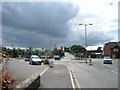
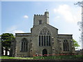
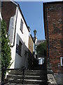
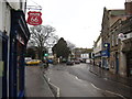
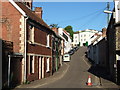
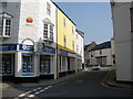
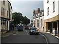
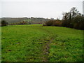
100 photos from this area
Area Information
Key information about the EX13 5QW including its size, population, and administrative classification.
- Area Type
- Postcode
- Area Size
- 3.4 hectares
- Population
- 1712
- Population Density
- 210 people/km²
House Prices in EX13 5QW
75
Properties
£170,098
Average Sold Price
£35,250
Lowest Price
£340,000
Highest Price
Showing 75 properties
| Address | Type | Beds | Baths | Last Sale Price | Last Sale Date | |
|---|---|---|---|---|---|---|
| 22 Willhayes Park, Axminster, EX13 5QW | house | - | - | £146,000 | Feb 2025 | |
| 39 Willhayes Park, Axminster, EX13 5QW | Bungalow | 3 | 2 | £340,000 | Dec 2024 | |
| 36 Willhayes Park, Axminster, EX13 5QW | Bungalow | 3 | 1 | £277,000 | Aug 2024 | |
| 54 Willhayes Park, Axminster, EX13 5QW | Semi-detached | 2 | 1 | £210,000 | Aug 2023 | |
| 40 Willhayes Park, Axminster, EX13 5QW | Bungalow | 3 | 2 | £295,000 | Jun 2023 | |
| 20 Willhayes Park, Axminster, EX13 5QW | Terraced | 2 | 1 | £230,000 | Nov 2022 | |
| 67 Willhayes Park, Axminster, EX13 5QW | Bungalow | 2 | 1 | £259,000 | Oct 2022 | |
| 70 Willhayes Park, Axminster, EX13 5QW | Detached | 3 | 1 | £270,000 | Sep 2022 | |
| 35 Willhayes Park, Axminster, EX13 5QW | Bungalow | 3 | 1 | £255,000 | Sep 2022 | |
| 50 Willhayes Park, Axminster, EX13 5QW | Semi-detached | 2 | 1 | £255,000 | Aug 2022 |
Page 1 of 8
Energy Efficiency in EX13 5QW
Amenities
Schools
| Rank | School | Type | Entry gender | Ages |
|---|
Explore more schools in this area
Go to Schools tabDemographics
Household Size
One person
most common
Accommodation Type
Houses
most common
Tenure
68
majority
Ethnic Group
White
most common
Religion
N/A
most common
Household Composition
N/A
most common
Age
47
median
Adults (30-64 years)
most common
Household Deprivation
N/A
with no deprivation
NS-SEC
27
in Lower managerial occupations
Explore more demographic insights in this area
Go to Demographics tabPlanning
Planning Constraints
- Flood RiskPremium
- Ramsar Wetland SitesPremium
- Area of Outstanding Natural BeautyPremium
- Protected Nature ReservePremium
- Protected WoodlandPremium